The West Highland Way
The West Highland Way begins, traditionally, at an obelisk which stands in the middle of the main shopping street of Milngavie - a commuter town north of Glasgow. Ours began somewhat less traditionally in a panicked taxi ride up Maryhill Road after the morning’s trains were all cancelled, with four people, a pile of rucksacks, and a vague sense that things were already not quite going to plan. Scotland’s first long-distance leisure walking route runs 150 kilometres from Milngavie to Fort William, in the middle of the Highlands, and at the foot of Ben Nevis. In May 2024 I walked it with a group of friends, from South to North. This is how we made it there, in 75% of one piece.
Dramatis personae: Myself (Daniel), Andrew, Shona, Ben, Euan, Jordan, Magnus, and Alex.
Day 1
Milngavie to Cashel Farm
I woke up knowing I’d spent my last night in a bed for almost a week. We had decided, after some debate, to use a baggage transfer service on this trip, having discovered the year before on the Affric Kintail Way that we were perfectly capable of carrying all our things on our backs, and didn’t need to prove it to ourselves again. I also had qualms about carrying a lot of stuff so far as I was meant to be running the Edinburgh marathon in just a few weeks’ time. I needed to get my bag to Milngavie before the man with the van, who we were fairly confident would be doing the hard work, left.
Some characteristic chaos with ScotRail trains meant that getting the party together in Milngavie proved slightly complicated. But there we met, just outside the Greggs. Our total complement was eight.
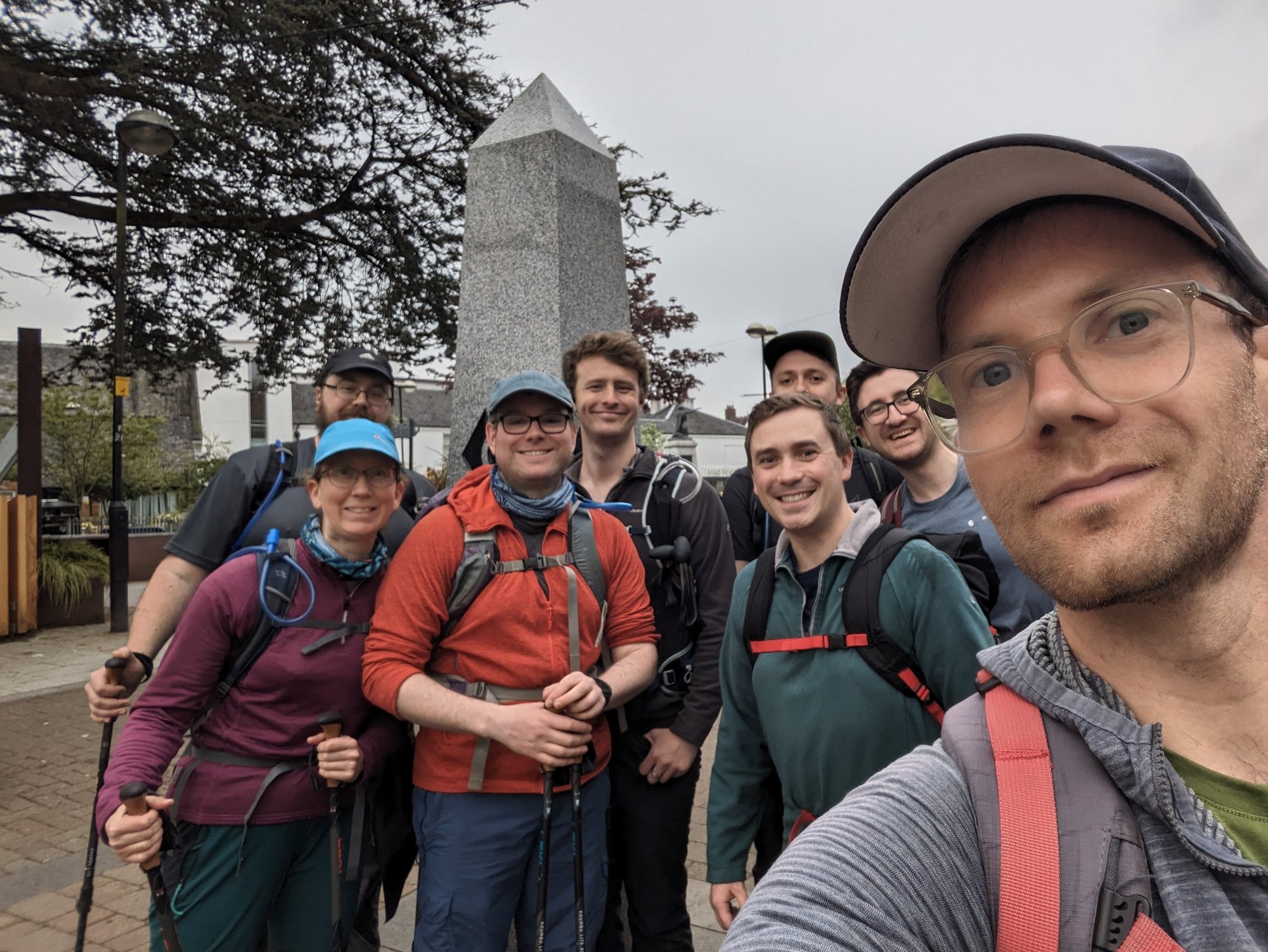
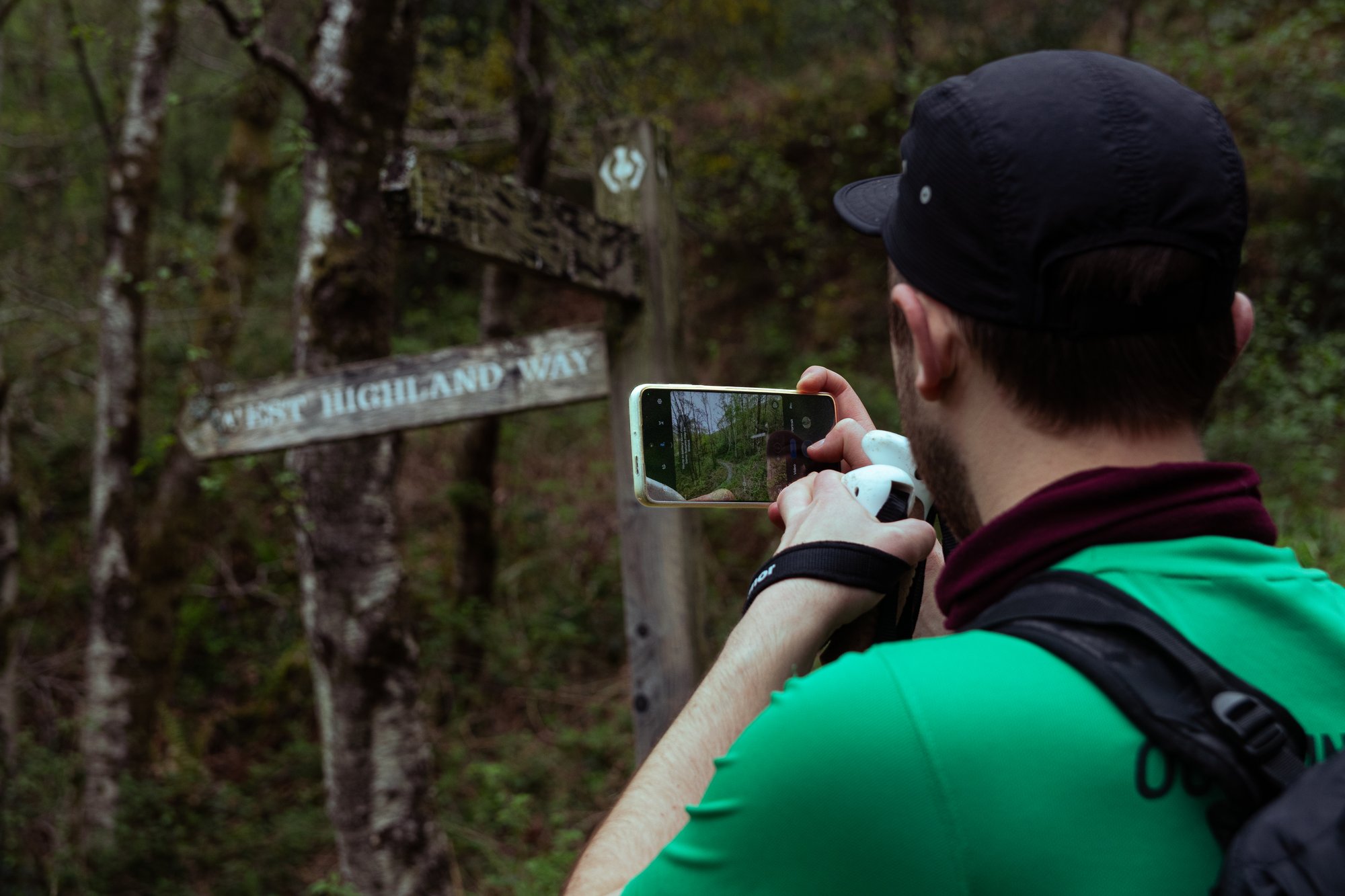
We queued at the obelisk in order to get the customary start-of-the-way photograph.
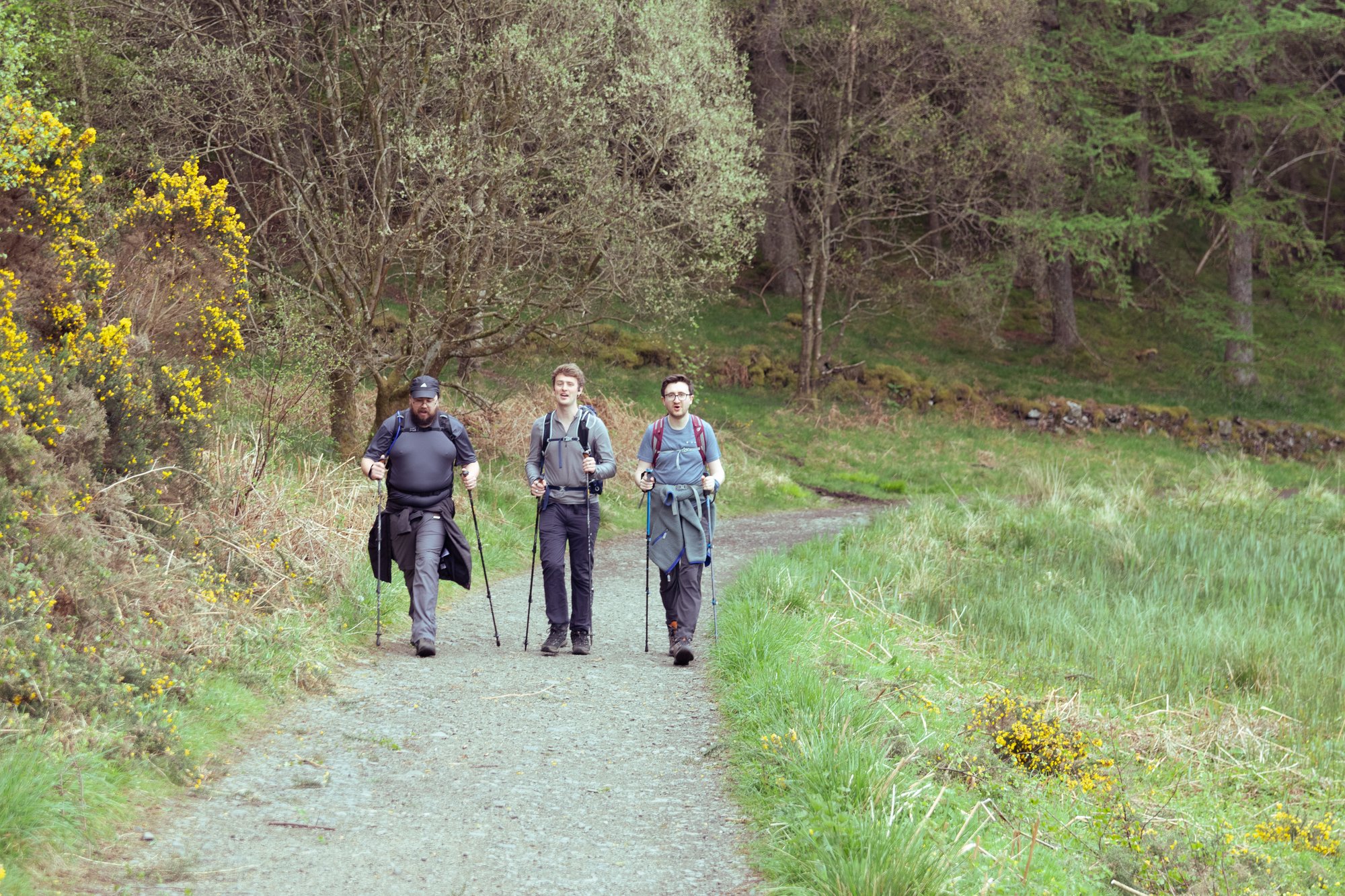
The first stretch is one I knew quite well. It leads out along the Allander at the edge of Mugdock Park, heading out past the hutting community at Carbeth. With this being the first day of the May bank holiday weekend the foot traffic was heavy. We were far from the only group making our start, but we also spent the first few miles dodging bikes and dog walkers: a reminder that we were still very much in suburbia despite the leafy surroundings.
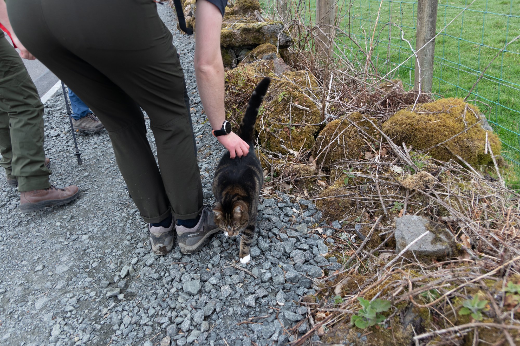
We made good progress, and reached the road past the huts in what felt like no time at all. We were greeted there by a very pregnant, and very affectionate, tabby cat, and I was briefly concerned that the party was going to grow to at least nine, but she fortunately decided not to join us.
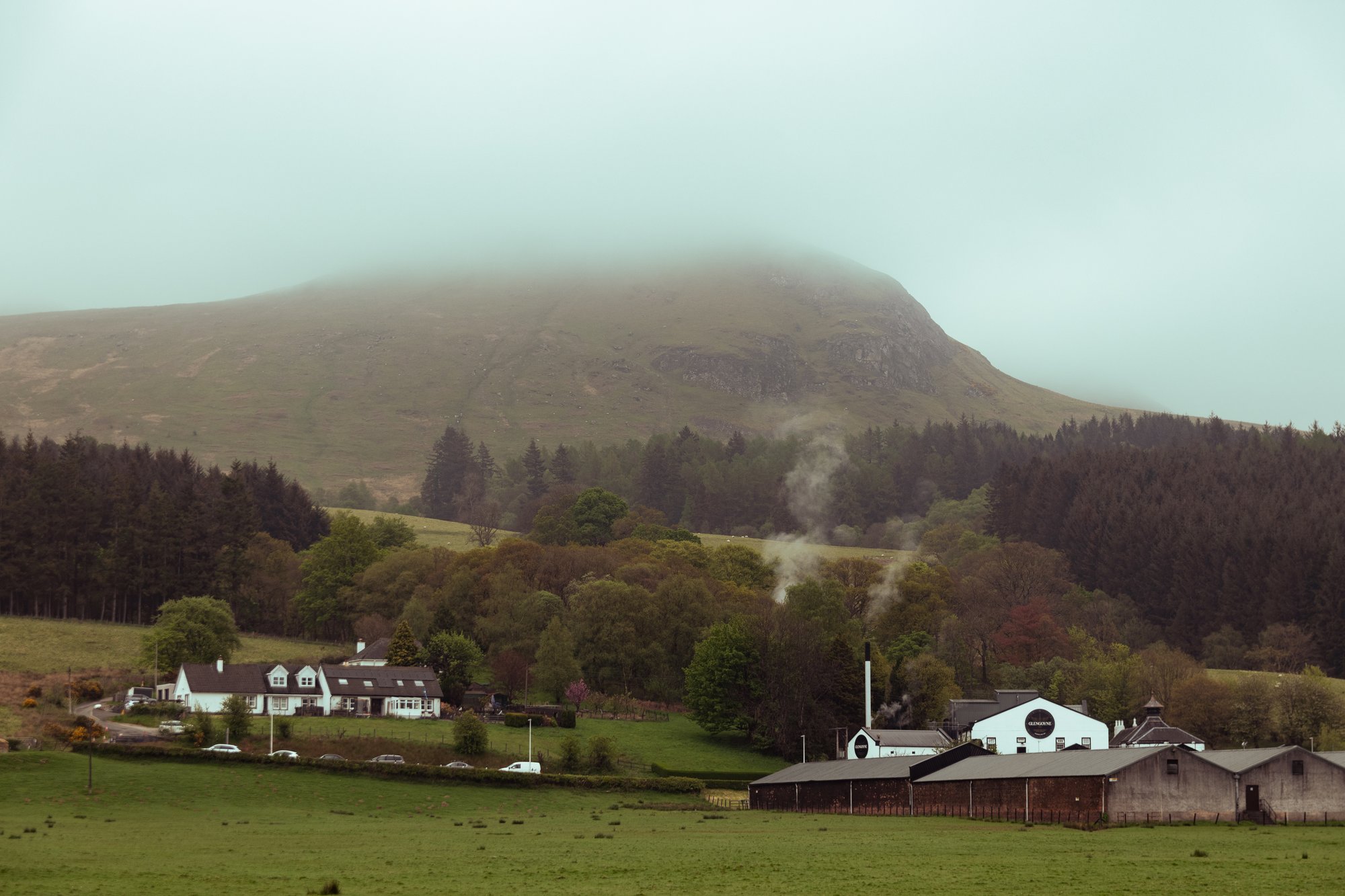
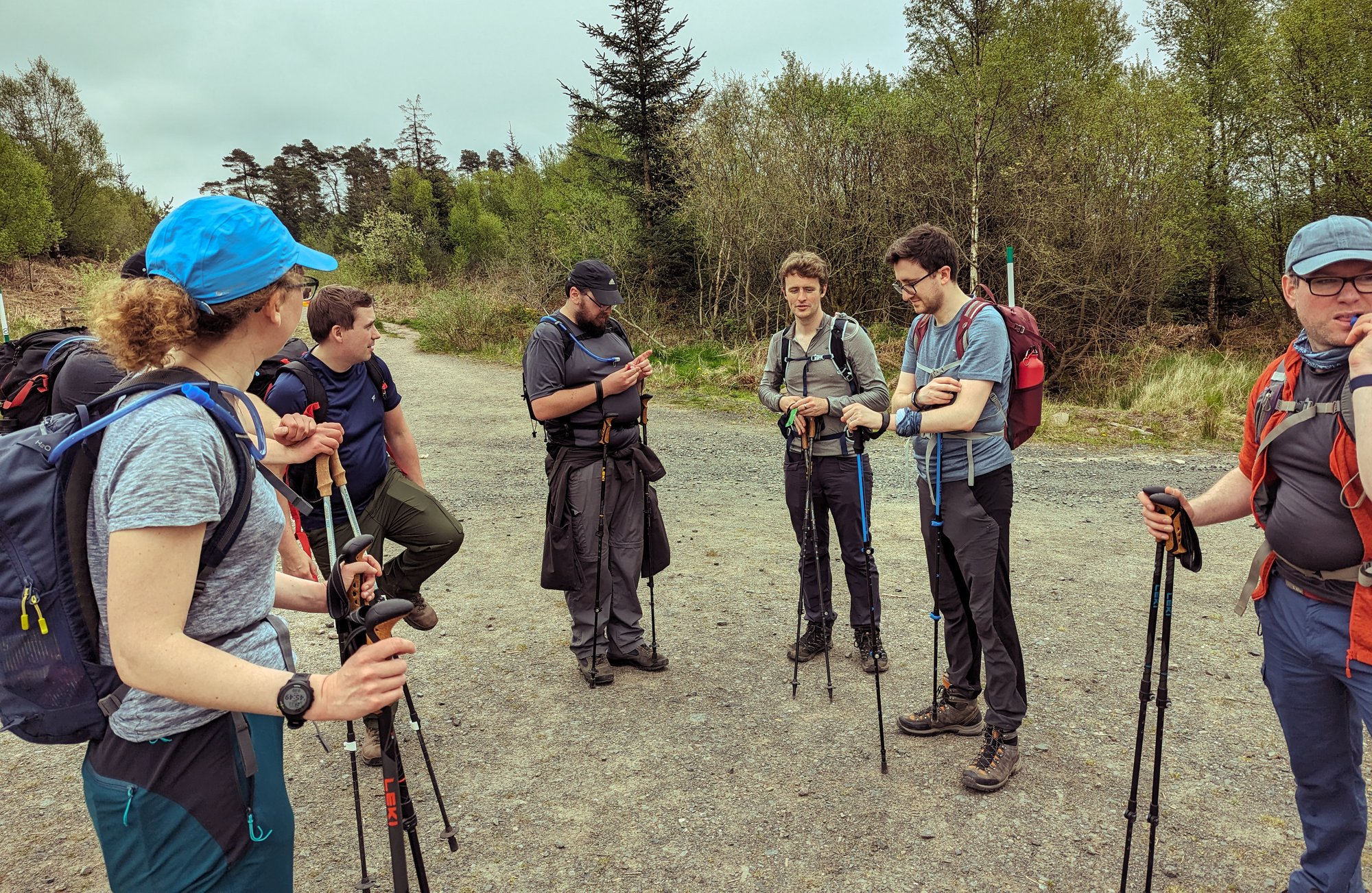
We carried on to the Beech Tree Inn, where we paused for a while; we were making such a good pace it seemed sensible to stop briefly and take stock, and snacks, whilst observing the very small horses, and looking back towards the distillery.
We had decided to take five days to cover the 150km or so to Fort William, and that left us with a bit of a problem on this first day. There are no good places to stop 30km into the walk which we could find were happy to take delivery of our luggage, or a booking at this time of the year. That meant either bumping the time up to six days, or having one very long day somewhere on the itinerary. We ended up with the latter, and that long day would also be the first day, covering well-over the average, so I was concerned that everyone should pace themselves a little.
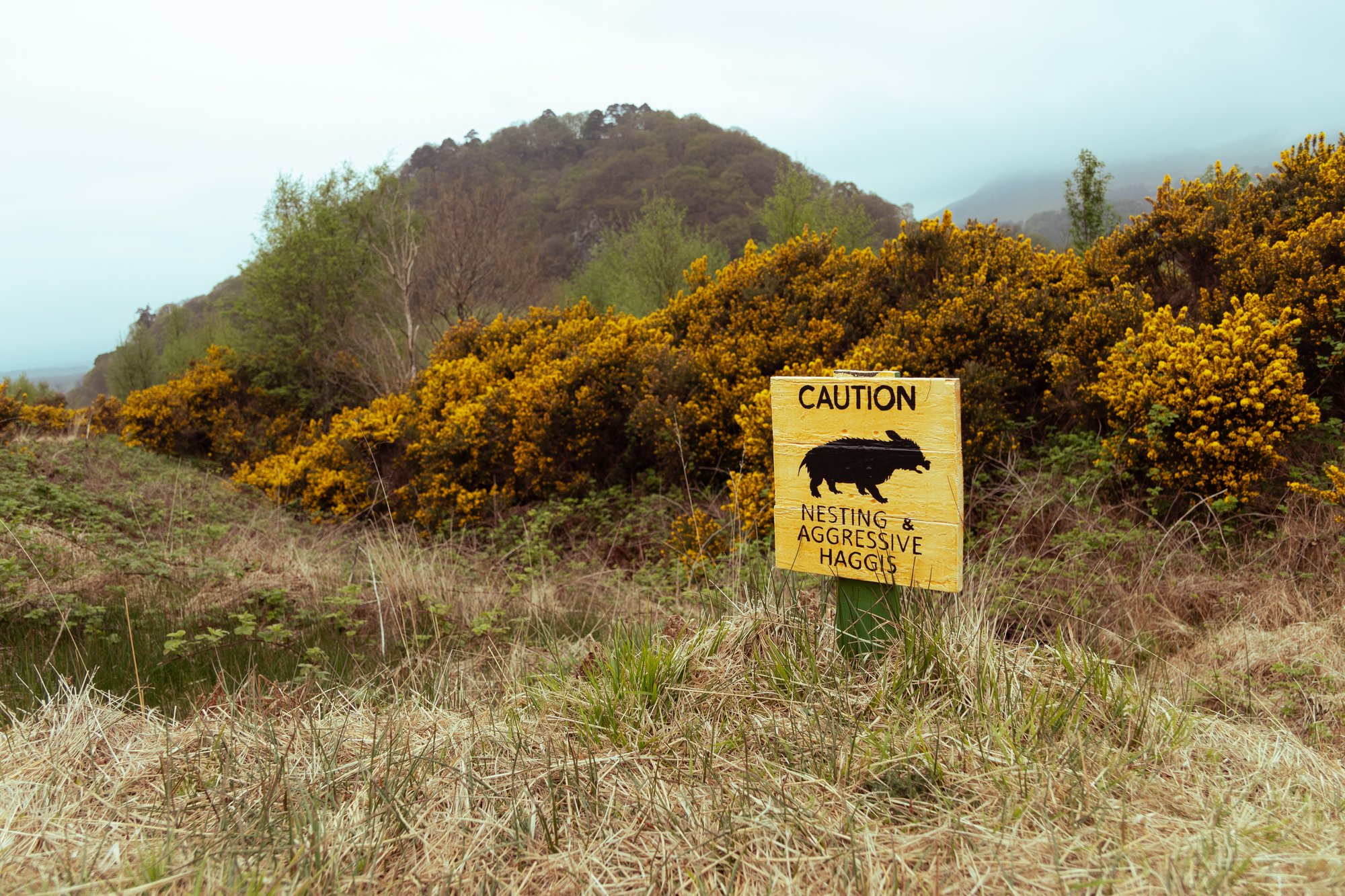
The cloud hung low and heavy as we continued through the Blane valley, obscuring the Campsies and veiling Dumgoyne, a distinctive volcanic plug which sticks out on the end of that range of hills, and should have been one of the major landmarks for the first half of our first day. As we passed here, and went beyond the distillery, however, we entered terrain which was new to me.
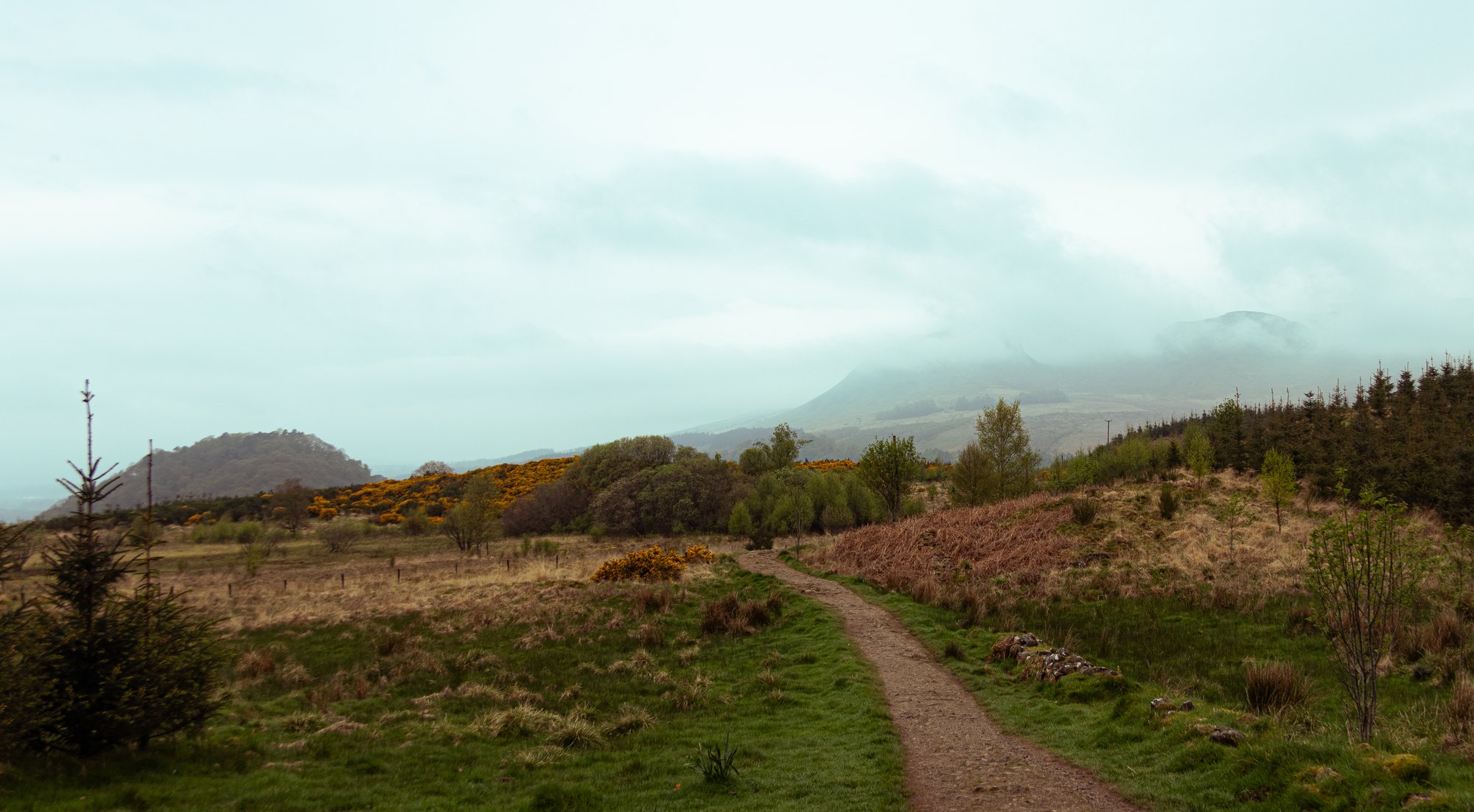
I’ll be honest, compared to what would come later in the week this made less of an impression on me than perhaps it ought to have done. The little country lanes, and the high hedges, while bucolic, hardly cried Highlands. This section also saw us walking mostly on tarmac (indeed this day had the largest portion of all its miles on roads), so it was a relief to eventually find ourselves turning off and into a field with a small hill. Here, after a little debate (as there were cows in the field), we stopped for lunch, just a little way outside Drymen. The main event for the day, Conic Hill, was now in sight.
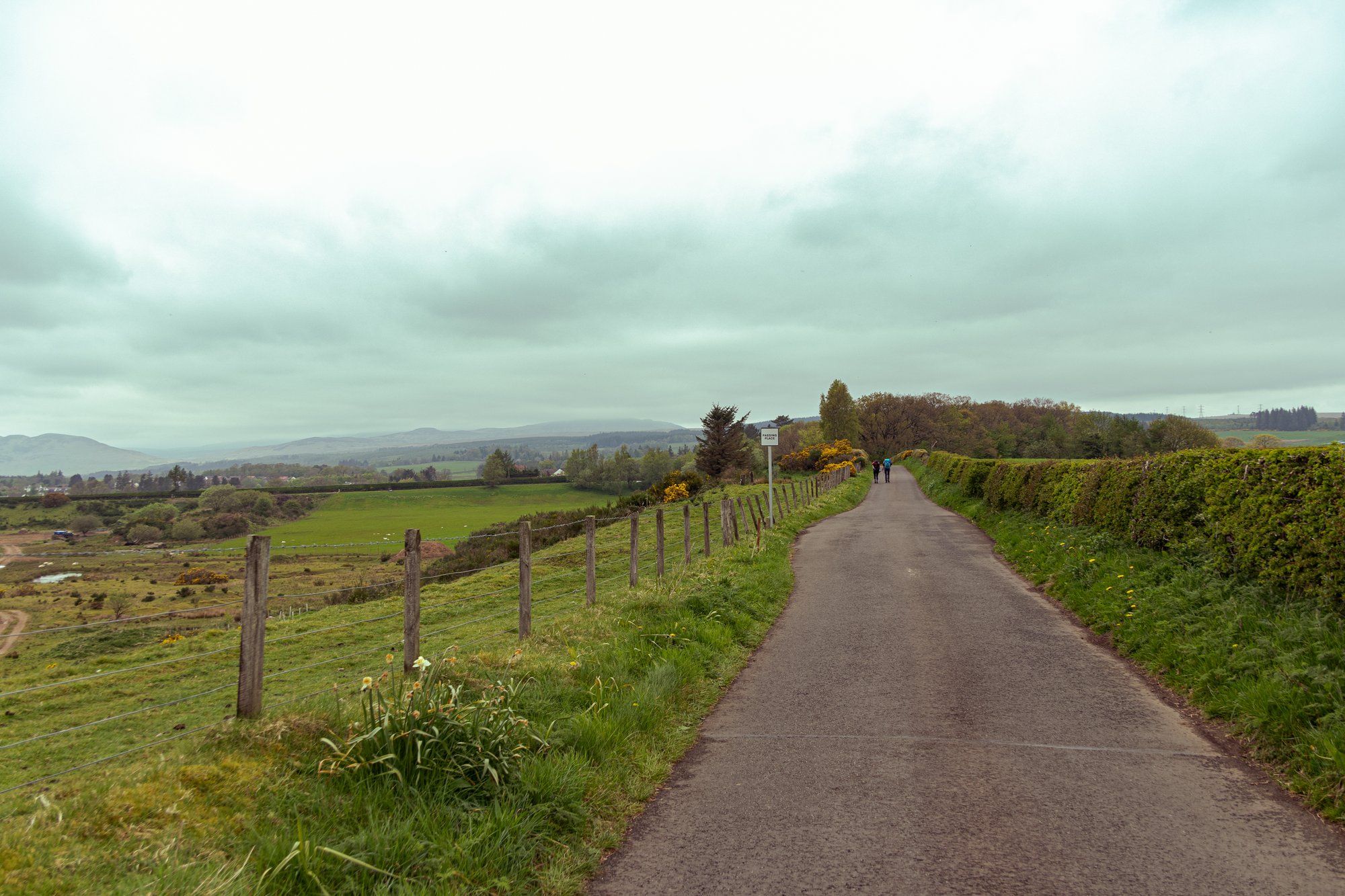
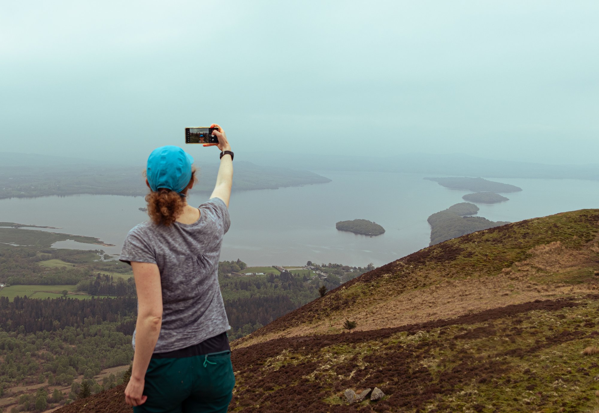
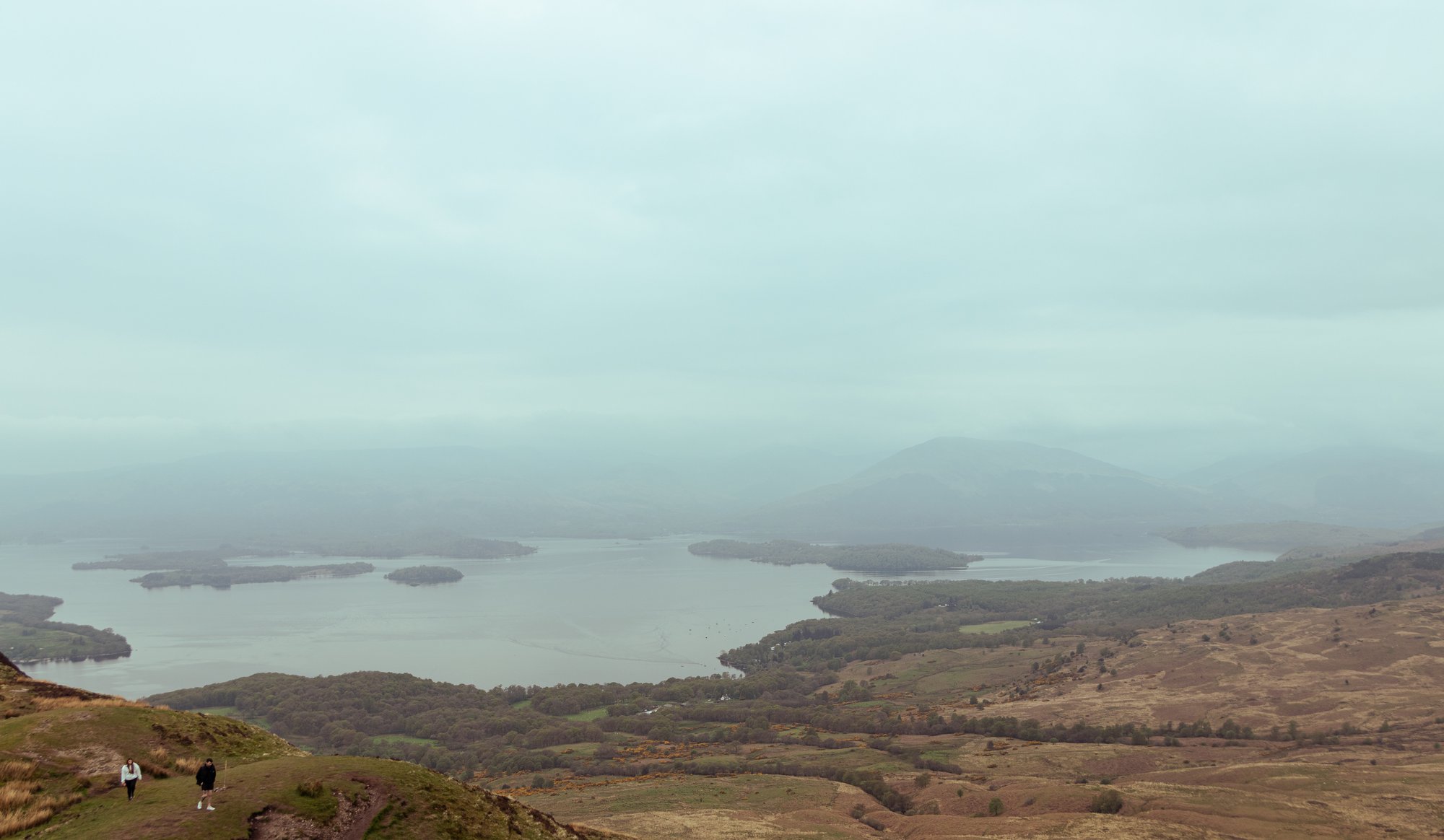
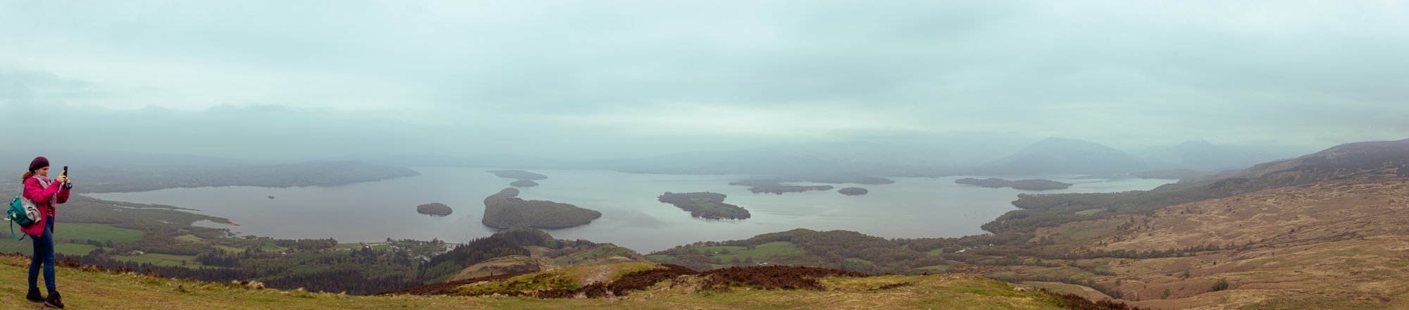
This next part of the walk brought me back onto familiar territory as we entered Garadhban Forest, which heads up towards the hill, across a hill farm. A pair of bridges had very recently been replaced along here; the last time I’d tried to use this path both had been falling apart, and with the river in spate my plans for a (mid-winter) route up Conic were shelved. The view across the loch and its islands was framed and softened by the mist.
I was surprised to find that a lot of the trees had been felled since the winter, and it now seemed bare and industrial.
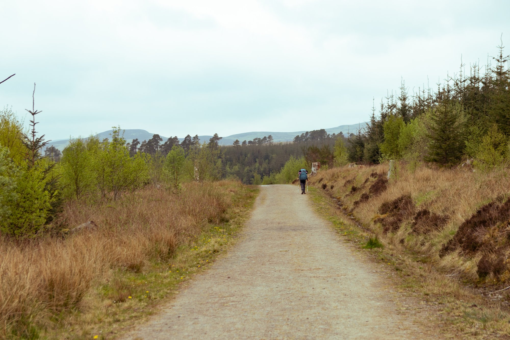
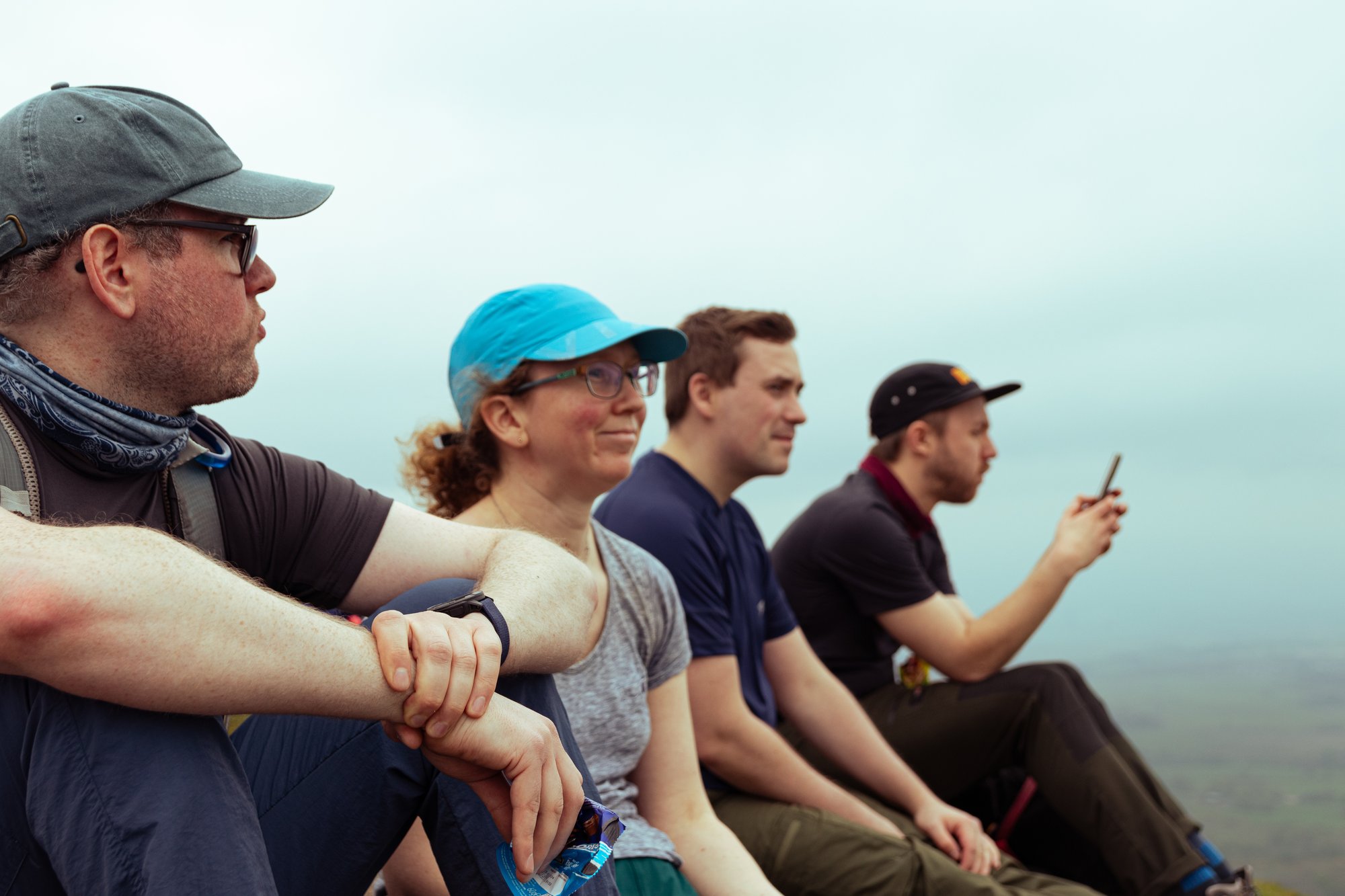
Conic Hill is one of two biggish climbs along the whole route (the other one is about three-quarters of the way in, and seems smaller because of its much more mountainous surroundings). As a result it has a reputation for being one of the hardest parts of the entire route. I needed to keep this in mind, given that in comparison to a Munro or two this was a rather small excursion for me. Not everyone in the party was afflicted by the disease that is hill-bagging however. Fortunately Conic isn’t very steep until right at the top, and we all made it up, to enjoy our imagination of what the Luss hills might look like if we could see them.
The path back down has been extensively engineered since the last time I used it, which made for fast progress, though was hard on the knees.
We still had a fair bit to go until our campsite at Cashel, on the banks of Loch Lomond. This was all along tarmac. Each step felt like that tarmac had been molten.
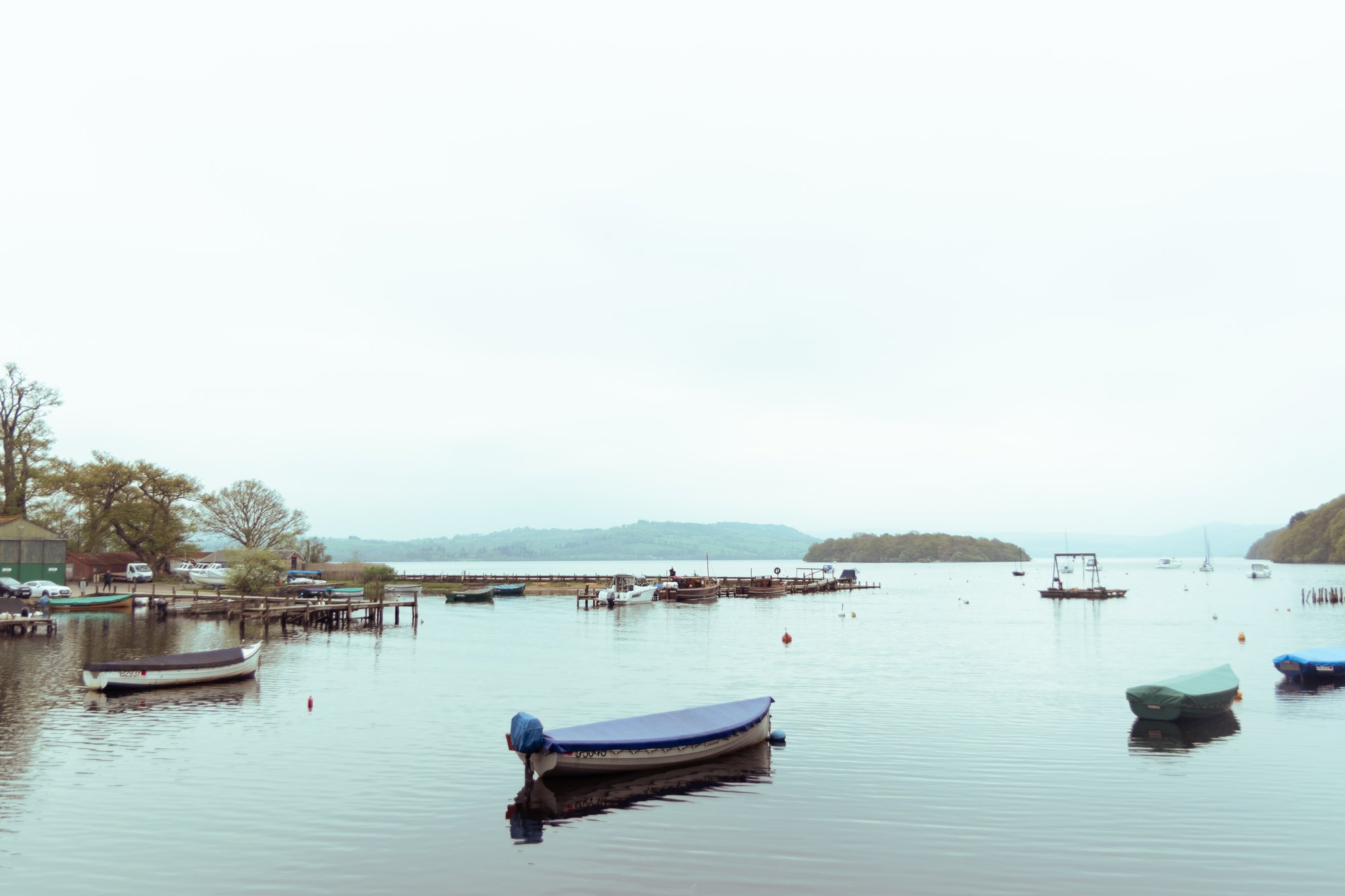
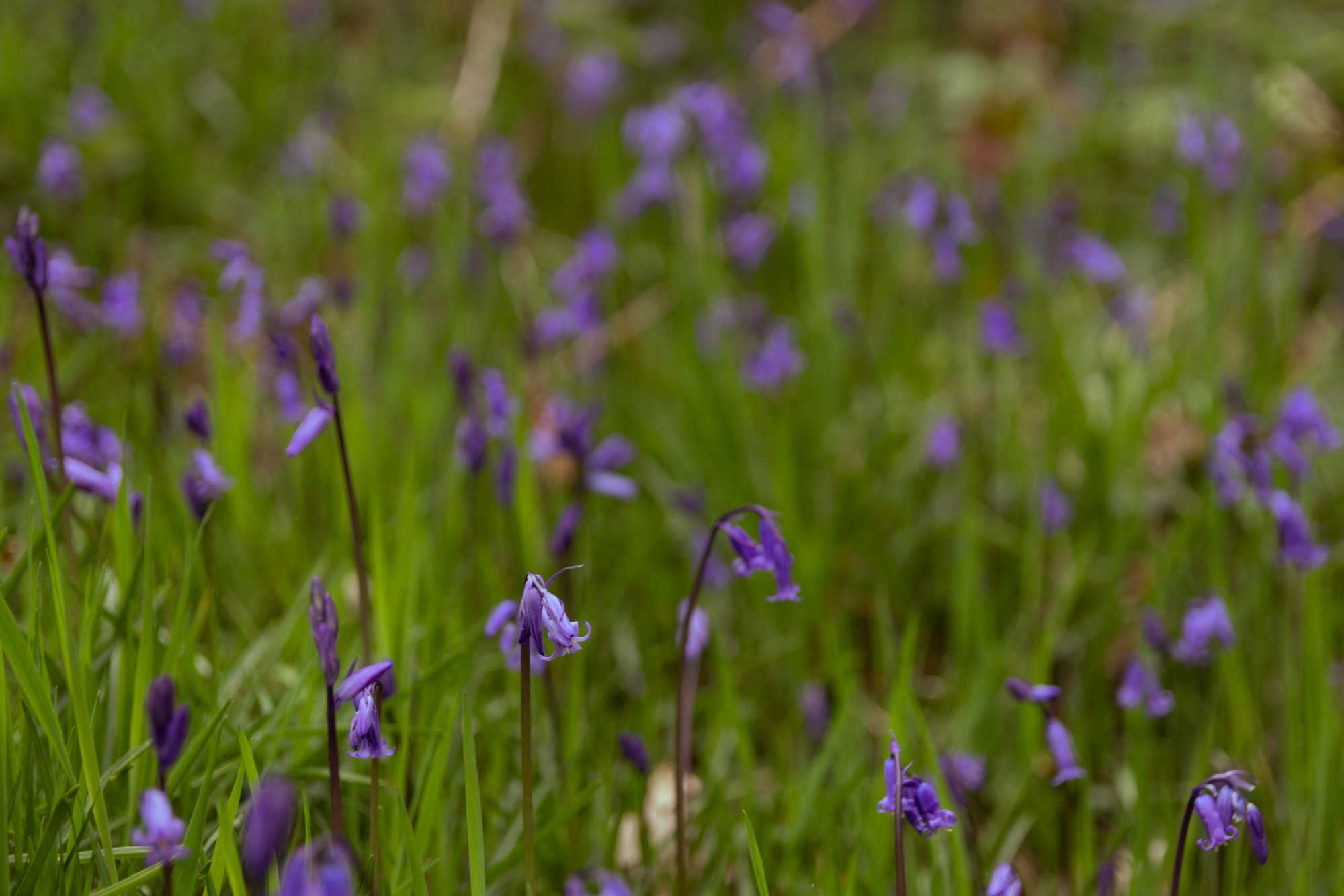
As we walked along the loch, however, we were treated to little bits of woodland. These were a prelude of what we’d see later in the week, with bluebells out in flower, and glimpses of the waters through the trees. The group split up a bit along this final stretch, but we did all eventually make it to Cashel, where we found our bags, and I insisted on trying to swim in the loch.
I briefly immersed myself in the freezing water. I count this as sufficient.
Day 2
Cashel Farm to Beinglas Campsite
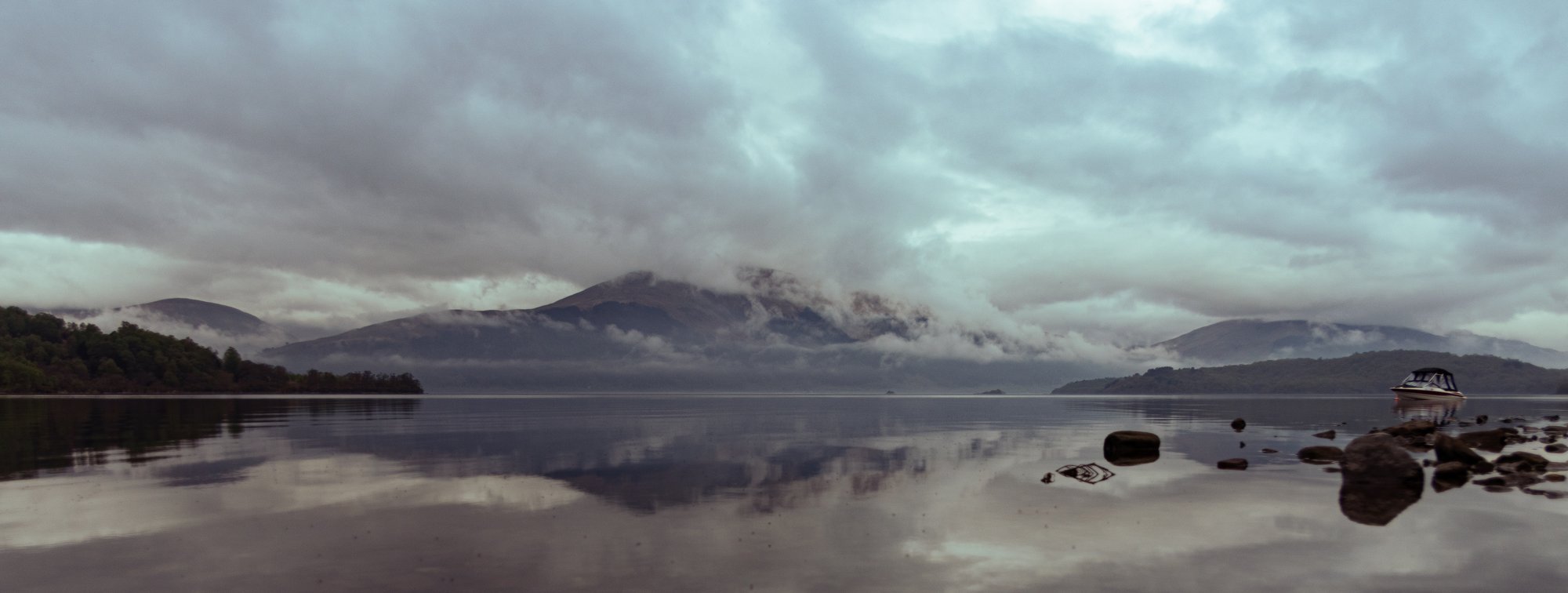
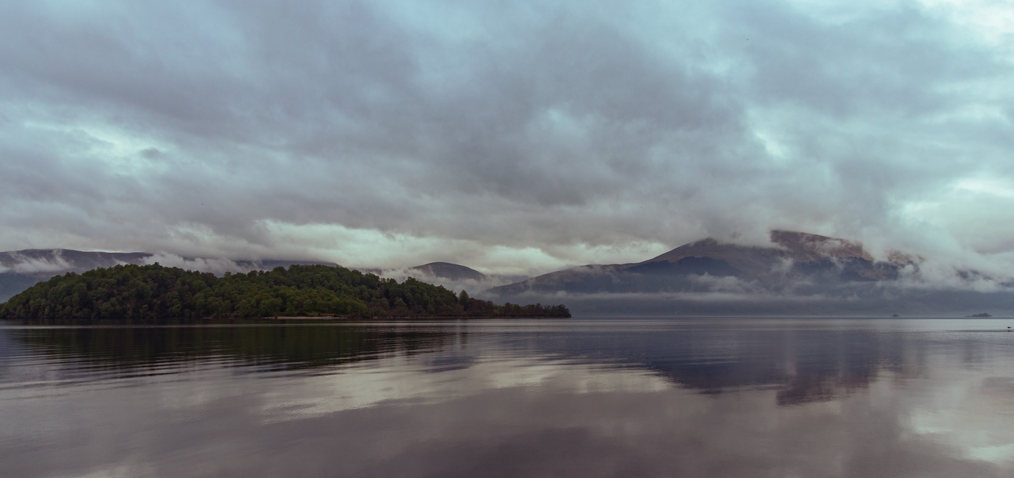
I woke after my first night camping to the cloud hanging even low over the loch and the hillsides. The forecast was good, and this was to be a shorter day. As long as the rain held off, things should only get better.
The campsite had a fairly well-stocked shop and I took advantage of this to buy a packet of crisps before we set off for the day.
I’ve always been somewhat sceptical of the reputation of this section of the way. It’s often implied as the most difficult. I know people who have complained about it. This all said, things got off to a good start, and we first passed Sallochy campsite.
The campsite looked rather nice for all of its lack of facilities. We passed through it before starting on the only real hill of the day, which climbed up and through the woods. It was starting to become quite humid and progress here was quite slow. I paused near the summit to allow everybody to regroup, allowing a French family to overtake me.
We’d end up leapfrogging them until lunchtime. It was here that Jordan found a stick which he would use for the next day and a half as an alpenstock, and which I would end up bringing back to Glasgow at the end of the week.
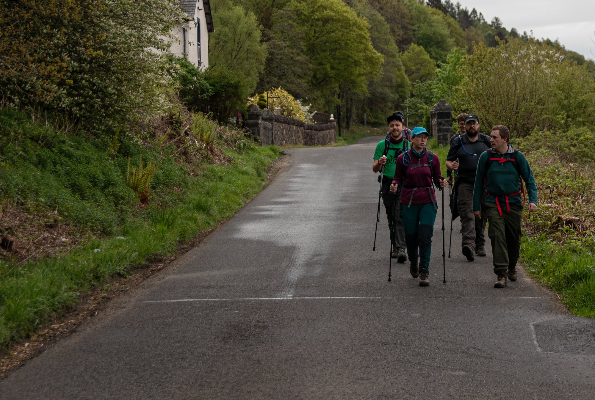
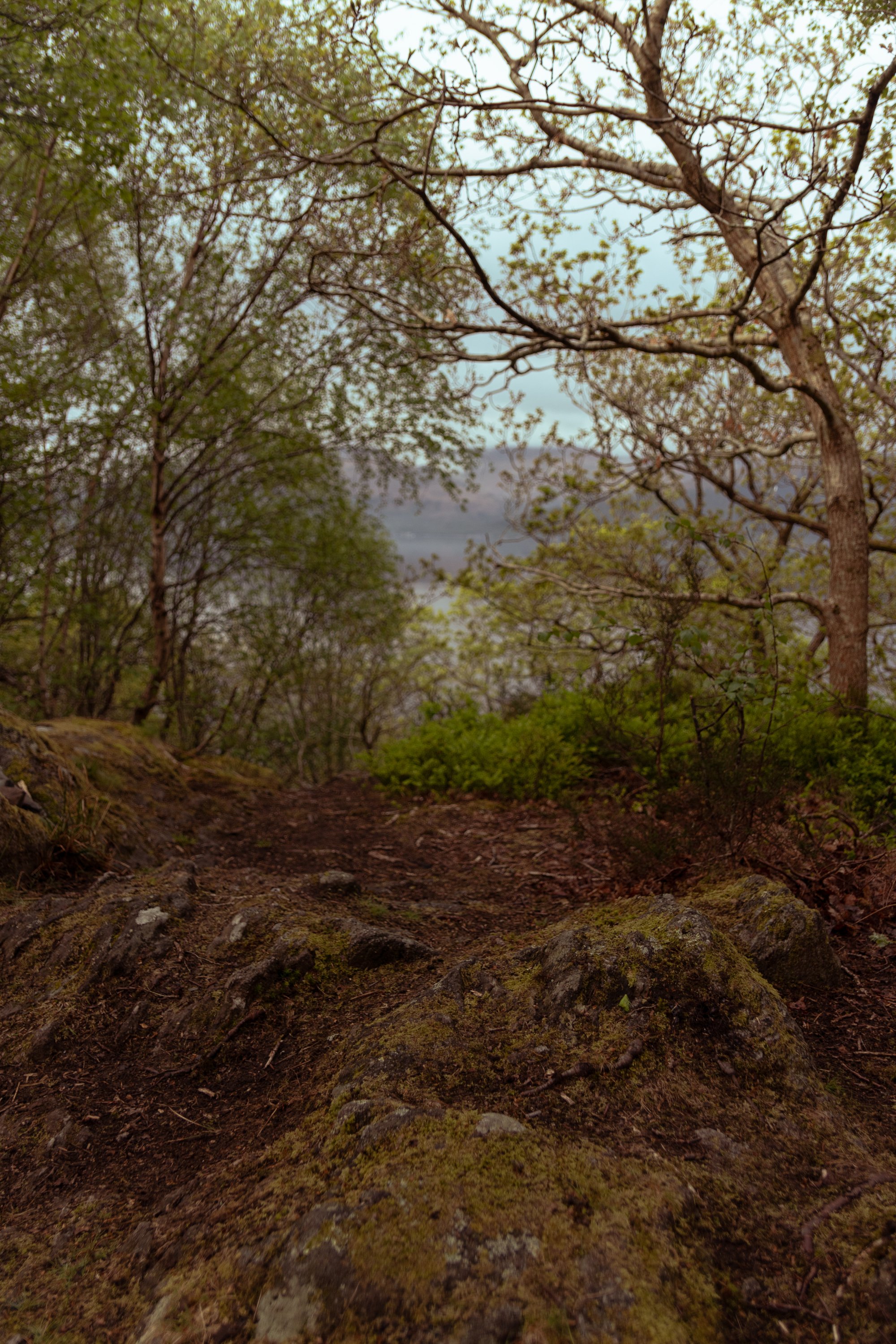
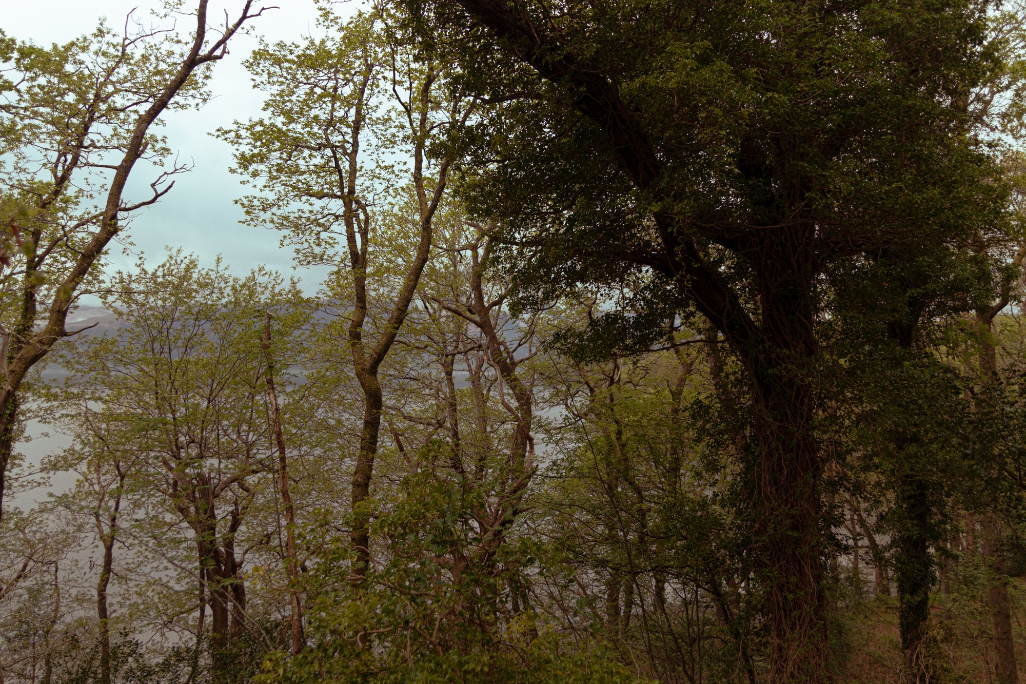
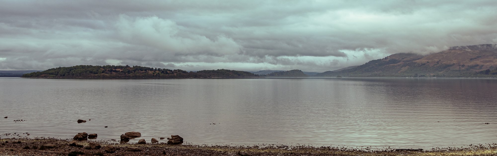
The downhill segment into Rowardennan passed quite quickly, and brought us back alongside the loch shore, and briefly onto the road as we reached the big Ben Lomond car park.
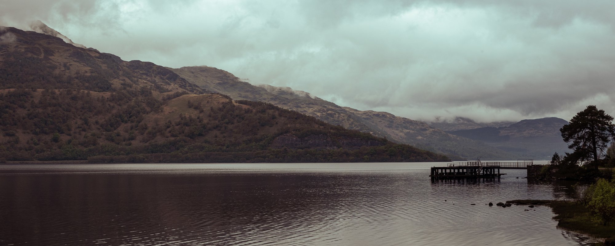
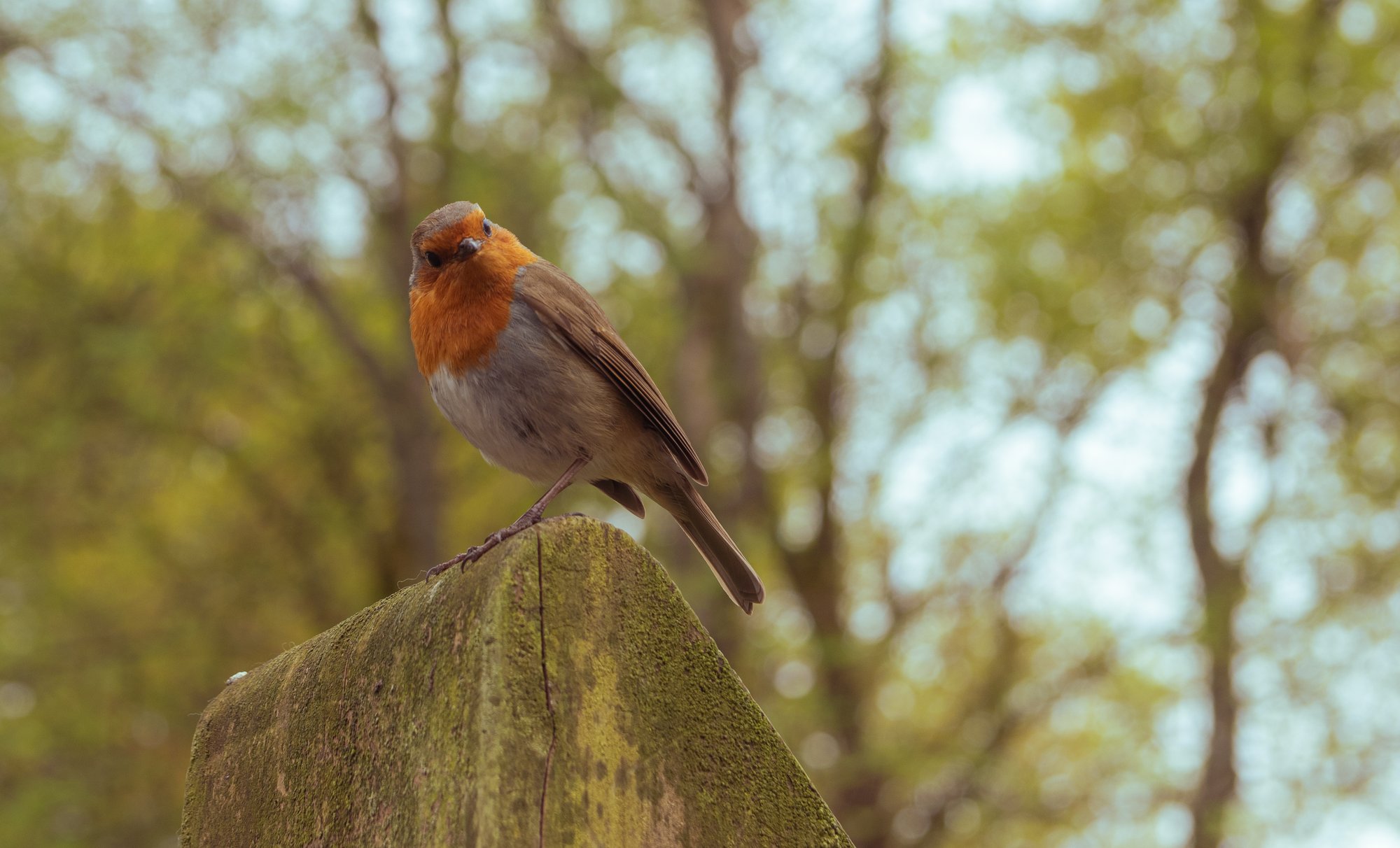
We paused here at the picnic benches, ate snacks, and were observed by a robin before continuing towards Inversnaid.
We walked along a thin strip of flatish land between the loch on the left and the mountainside on the right. The path became rougher, and it undulated a good bit more than any previous section. I think I had expected more in the way of views along this part, but for the most part trees obscured the views over the loch to our left, while the steep hillside was all there was to be seen to the right.
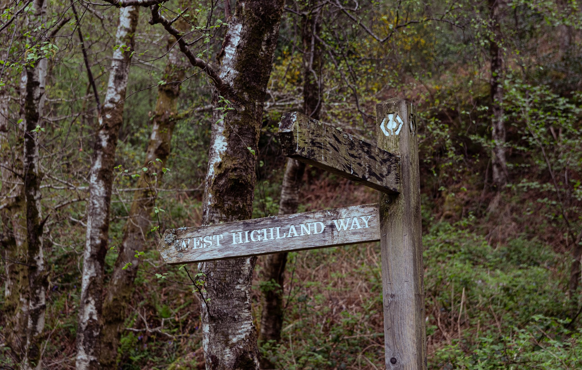
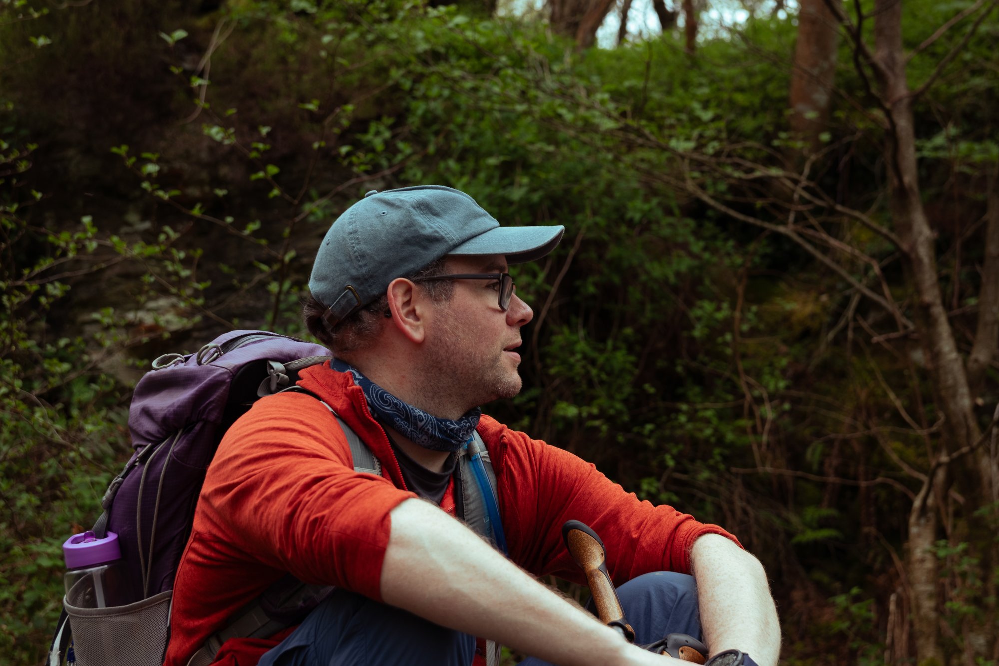
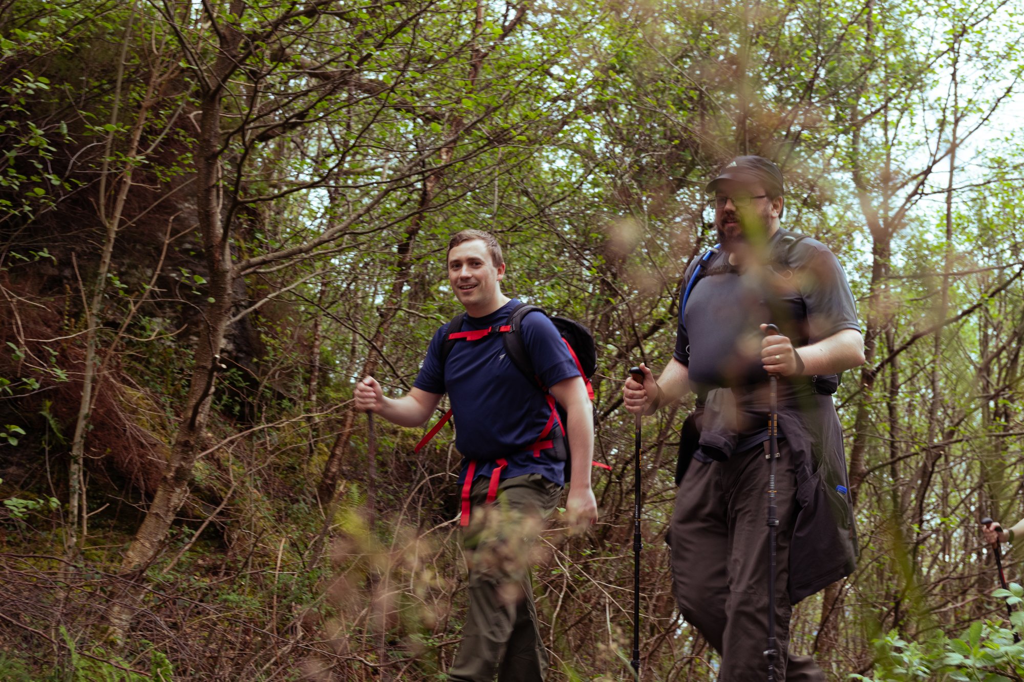
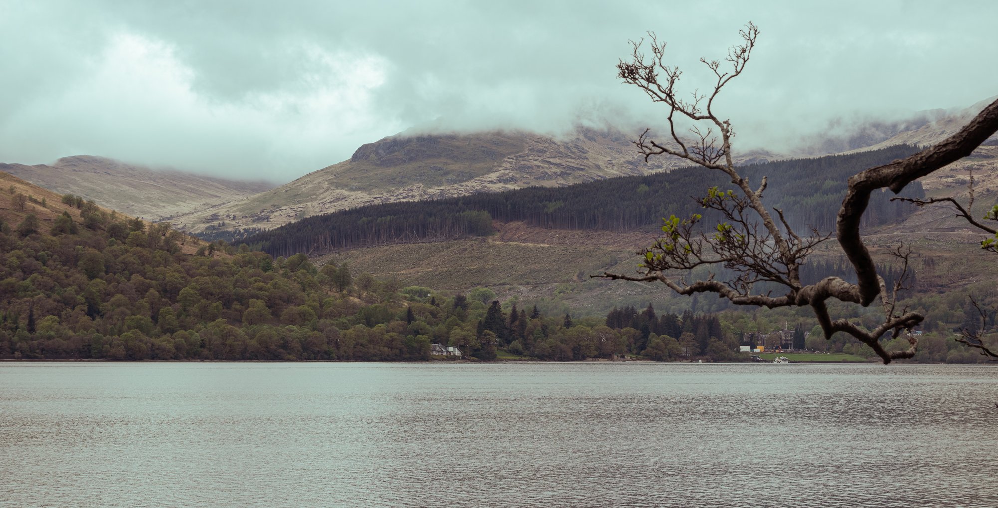
The payback for the difficulty of the trek, however, was the wall of bluebells which climbed those hillsides.
The forest in general is an impressive mixture of native species, guarded by an inaccessibility even the deer can’t be bothered to overcome.
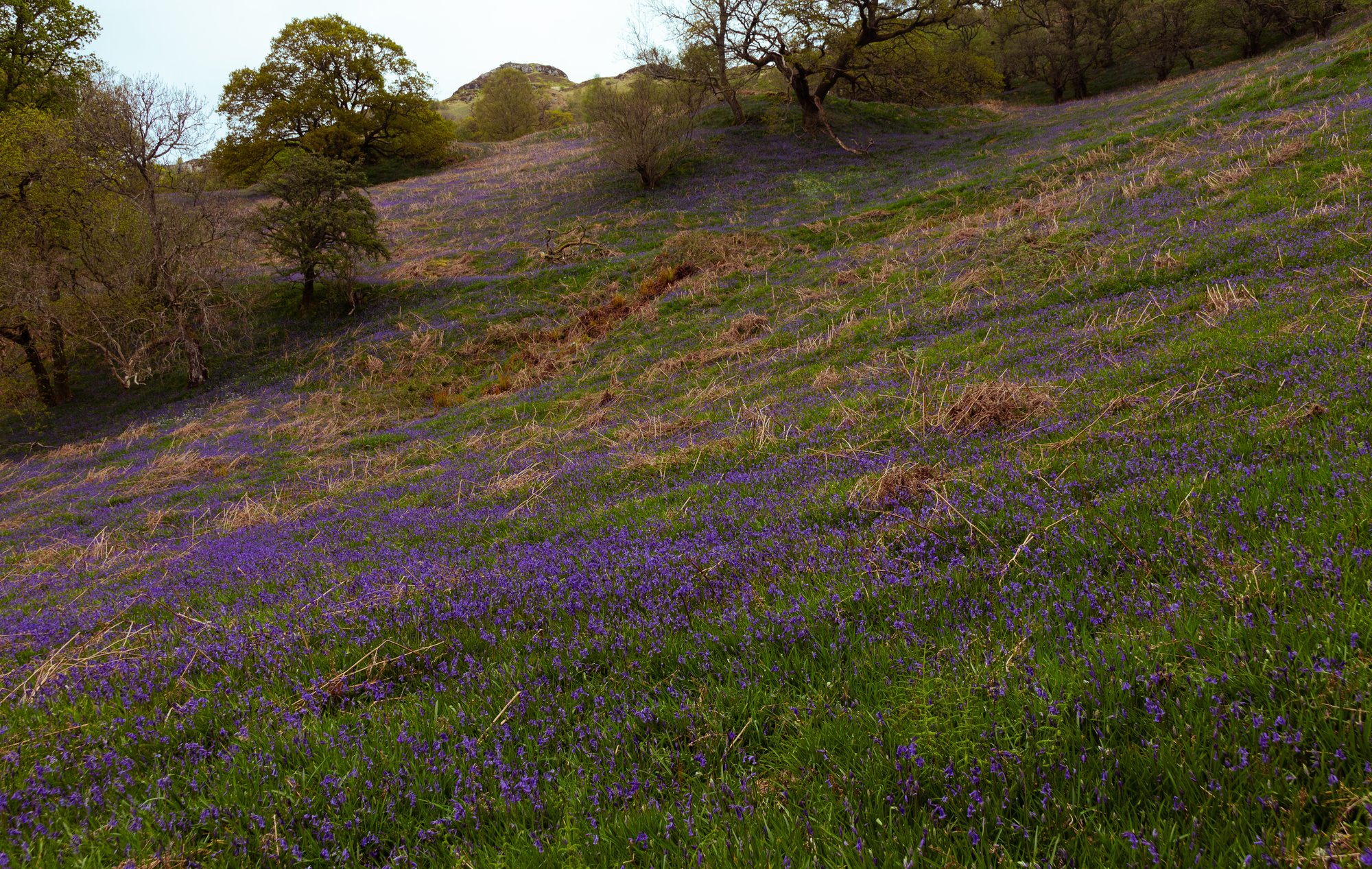
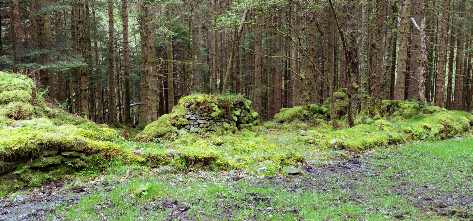
A couple of hours of slow progress brought us to Rowchoish bothy, where we stopped for lunch. Here we felt very deep in the forest, with moss-covered ruins just behind us on the track. We’d now travelled fifty kilometres; almost a third of the whole distance, and in many respects were at one of the remotest parts of the whole walk, which seemed somewhat incredible since we were still so close to Glasgow.
The hotel at Inversnaid had been the light at the end of a long tunnel of tree roots and lochside rocks. Specifically, the light was ice cream. It had grown warm in the trees — the breeze we’d occasionally glimpsed riffling the surface of the loch hadn’t reached us — and by the time the hotel came into view we were sustained by dreams of frozen dairy produce.
The hotel had no ice cream. It also required walkers to remove their footwear to use the facilities, which after several hours on rough ground was its own kind of cruelty.
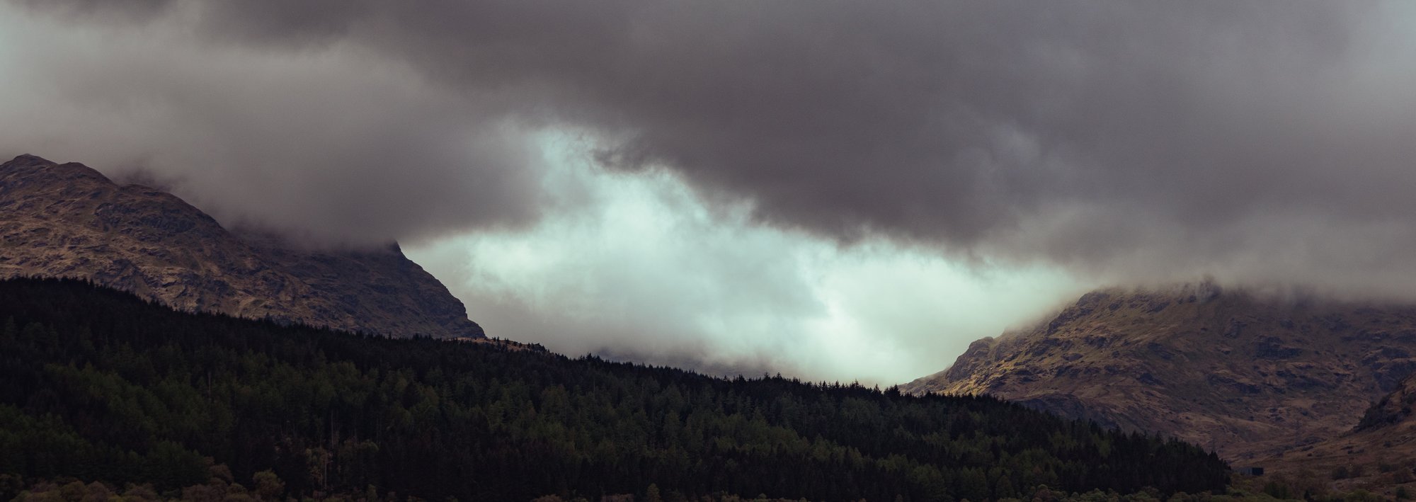
With ten kilometres still to go, and the dawning realisation that our short day on paper was turning into a hard one in practice, things became less a walk and more a game of psychology. The path between Inversnaid and Ardlui narrows, climbs and drops without warning, and the combination of trees on the left, steep hillside on the right, and the constant need to watch your feet makes for grinding progress. On a fresh pair of legs it would be unremarkable. By mid-afternoon it felt like it might go on forever.
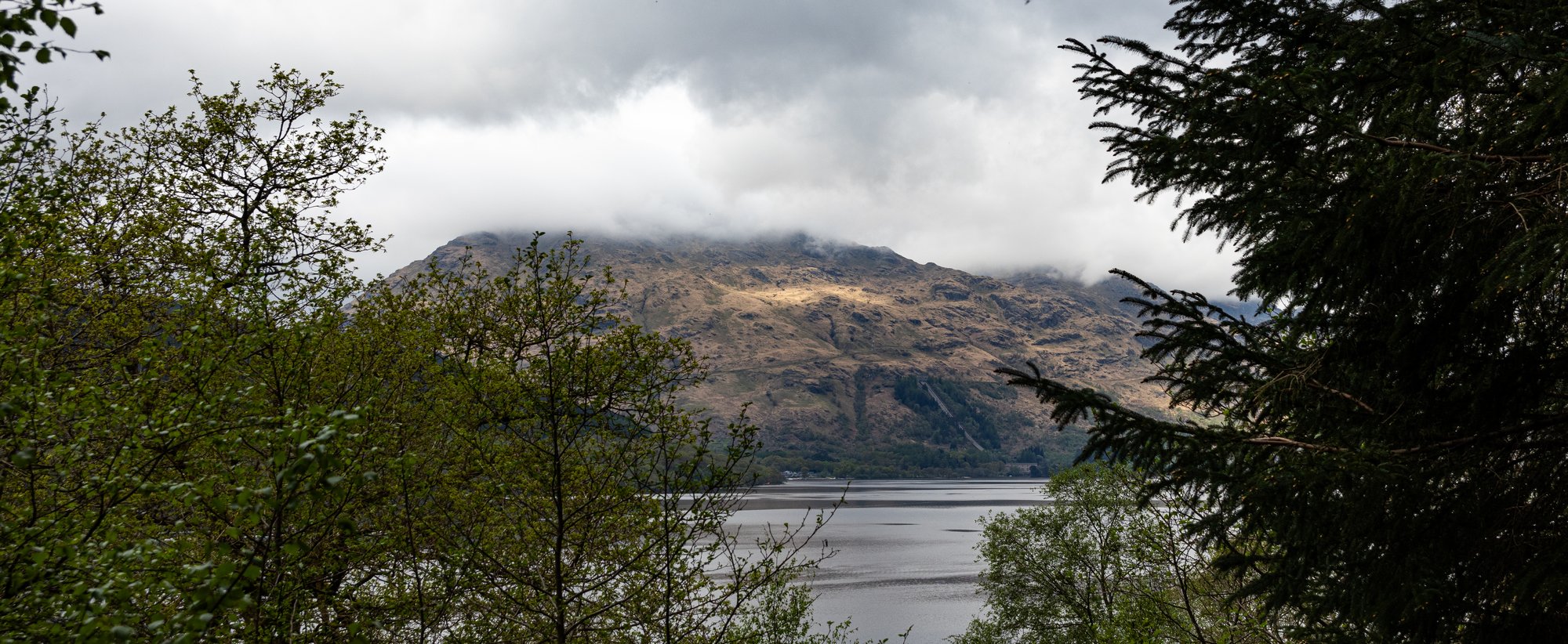
What felt like an eternity later we finally emerged from the woods and climbed up a bit of a hill to a clearing.
My doubts about the difficulty of the Loch Lomond stretch? I take them back.
Andrew and I were some distance ahead at this point, and we stopped to let the company regroup. We started to worry after around ten minutes that we ought to head backwards, but we spotted Ben and Magnus emerging from the trees, just as I was psyching myself up to jog back.
We ended up chatting to a pair of Dutch walkers, one with his knee in a bulky-looking brace. They seemed to be equally glad to have emerged from the narrow corridor through the trees, and while we were distracted by this the rest of the party arrived.
We agreed to press on, but Andrew and I would set out first in order to deal with check-in at the campsite if we got there first.

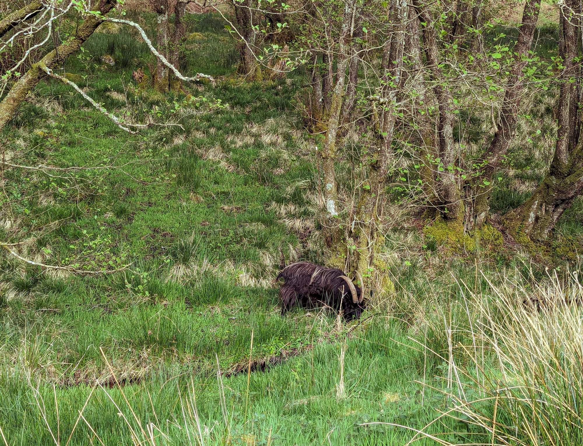
We passed a herd of feral goats as we dropped back down the hill. Soon we found ourselves, thankfully briefly, in less-dense trees for another mile or so, albeit on a much better path. We were moving fast, and passed the Ardlui ferry stop, the first bit of infrastructure which we’d seen for miles, aside from bothies. The route then took us over a boardwalk past the Dubh Lochan.
Finally, we caught sight of the Drovers, an old inn on the side of the road which runs alongside Loch Lomond, and just past it was the campsite, though this would remain an elusive sight until we were almost in it. The relief of arriving was considerable. Andrew and I checked us in, and I bought a can of Irn-Bru in order to set the world to rights.
Once the others arrived we set up the tents and headed over to the Drovers. I’ve never actually been in it, and was not expecting quite so much taxidermy to adorn the walls. We found that they had no tables - the perils of visiting on a bank holiday weekend - so returned to the campsite. It, however, has its own pub and restaurant, which provided a welcome, if somewhat pricey macaroni and cheese, and onion rings.
Well-fed and refreshed I settled down for what I hoped would be a good night’s sleep.
Day 3
Beinglas Campsite to Bridge of Orchy
I woke after a somewhat disrupted night’s sleep feeling surprisingly refreshed. I think it would be fair to describe the facilities at this site as mixed. For the couple of hundred people staying here there were only a handful of showers, but there was a good and well-equipped campers’ kitchen. The luxury of an electric kettle saw me go to the efforts of making a flask of coffee for the day ahead.
By this point we’d developed the psychological tactic of breaking each day into thirds, each around ten kilometres long, and then breaking things down further to give everyone time to regroup, as the different speeds within the group invariably meant we kept breaking up into smaller subgroups. We rarely managed to keep all together as a group, but there were enough of us that things worked out without us often leaving anyone walking alone, with Shona frequently finding herself the person making sure that nobody got left behind while I was obliviously forging ahead.
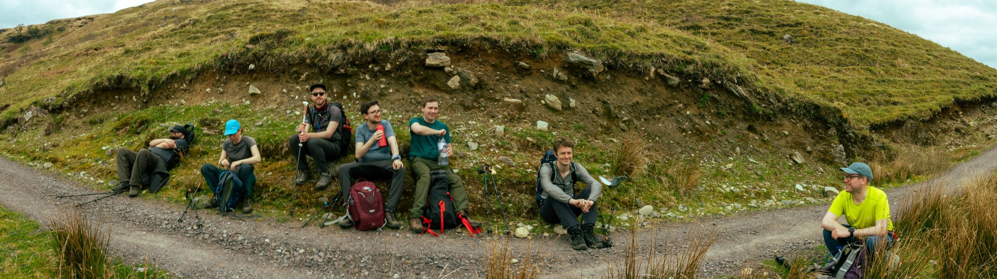
One member of the group, Alex, had struggled to sleep the last night at all, and Magnus had complained about ankle pain. My worry that things might start to fall apart was increased. Magnus decided he’d make up his mind about his ankle at Crianlarich, where he could get a relatively straightforward route back if required.
The thirds for today split things up as campsite to Crianlarich, Crianlarich to Tyndrum, and Tyndrum to Bridge of Orchy. This would prove to be the day with the neatest set of splits, since each stop had facilities of some form or another. Crianlarich also marks the halfway point of the whole walk.
We started walking on a good track out of the campsite, and a few minutes later we found ourselves turning down the wrong fork, and needing to quickly back track to leave Loch Lomond behind us finally, under the first real sun of the walk. Things were looking good as we passed through Glen Falloch, passing high on the hillside above the Falls, looking down on them from above rather than from their normal vantage.

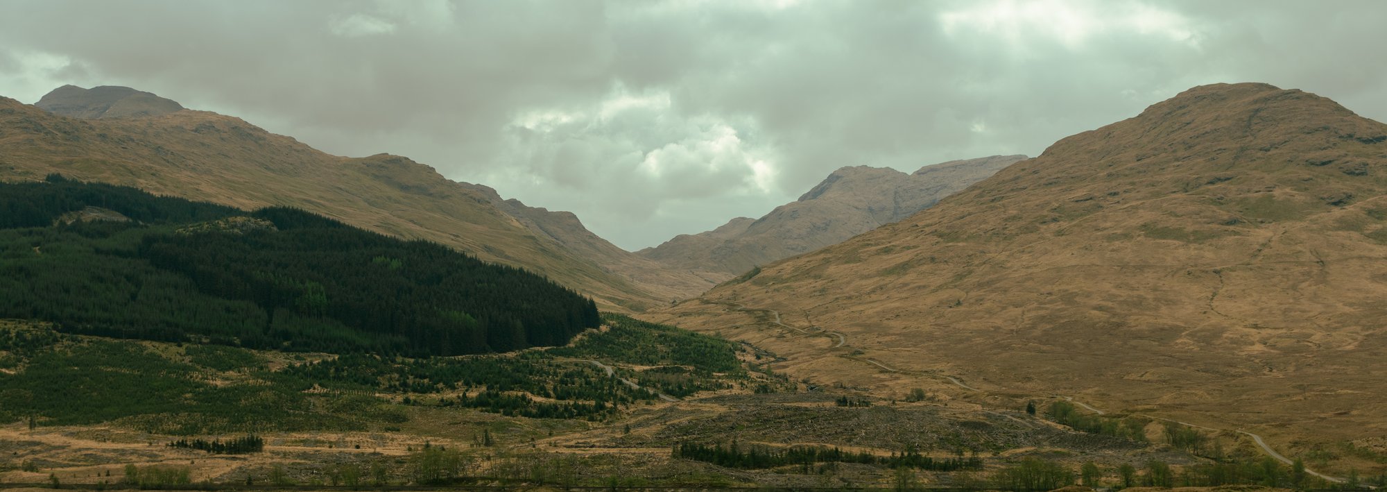
Here the route reaches a confluence. One glen, which we’d been walking through from the south meets one which heads to the east, towards the rounded hills of Breadalbane. Another meets from the West, carrying the road to Oban and flanked by the more rugged hills of the West coast.
We were now treated to a slowly-evolving panorama as we flowed into this confluence. The view of Crianlarich Munros unfolded as we walked around Beinn Chabhair, revealing the imposing form of Ben More, and its twin, Stob Binnein.
The path felt like a breath of fresh air after the slow-going up the loch, and we made very rapid progress. This was all for the best, as the forecast was threatening thunderstorms later, though as we progressed towards Crianlarich things started to look up.
Indeed, the earlier worries about everyone’s fitness seemed to be fading, and we had gained forward momentum.
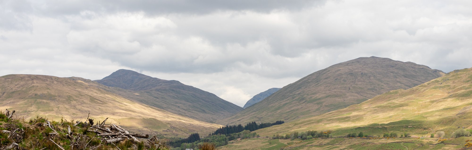
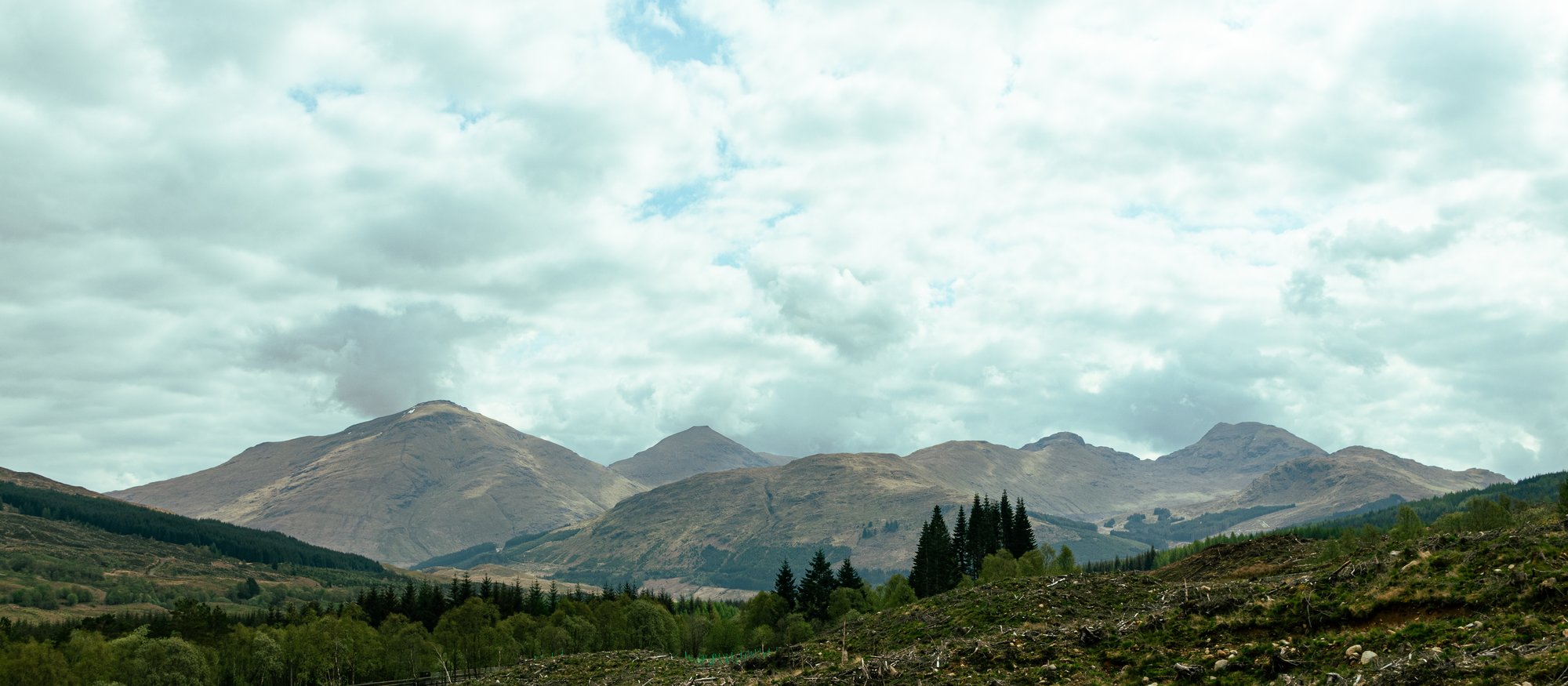
We crossed the A82 at a point which I recognised well from its warning signs, and found ourselves in Strathfillan, walking through the SRUC farm, with a field full of lambs, and past the old churchyard and ruined priory.
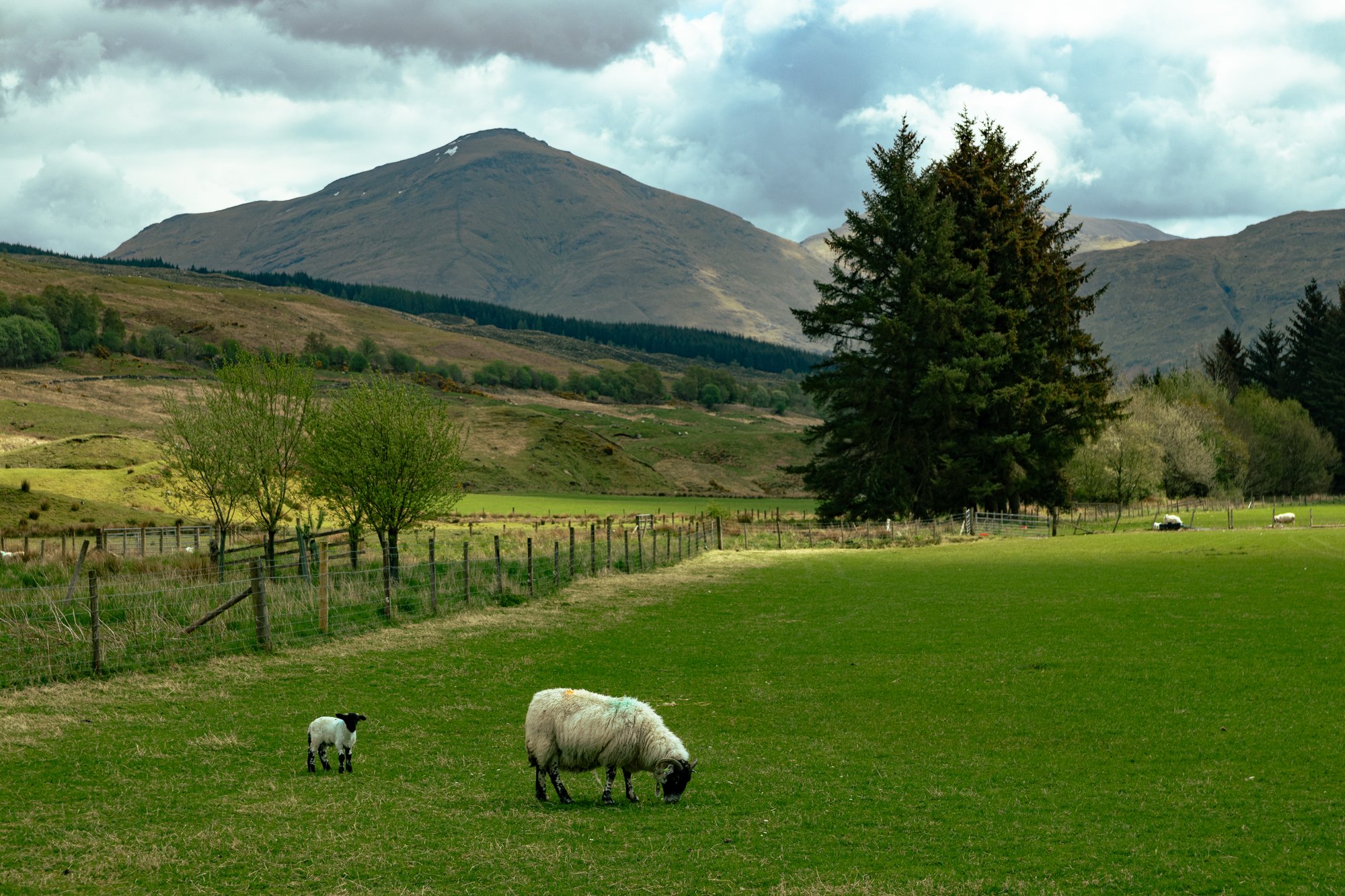
This was the first time I’d really stopped to appreciate the landscape around here; I’m used to passing it at 50mph or so. The route crosses the A82 again a little further along, and starts winding its way onwards to Tyndrum from there. At this point in the walk Tyndrum, and more specifically, the Green Welly Stop, had become almost totemic as a place where we could stop and get ice-cream. We walked through Dalrigh, a place I’d only ever seen on the signposts from the road, and had a chance to take in the field where Robert the Bruce narrowly escaped after a defeat.
It was a surprisingly ordinary field, though it had a horse in it.
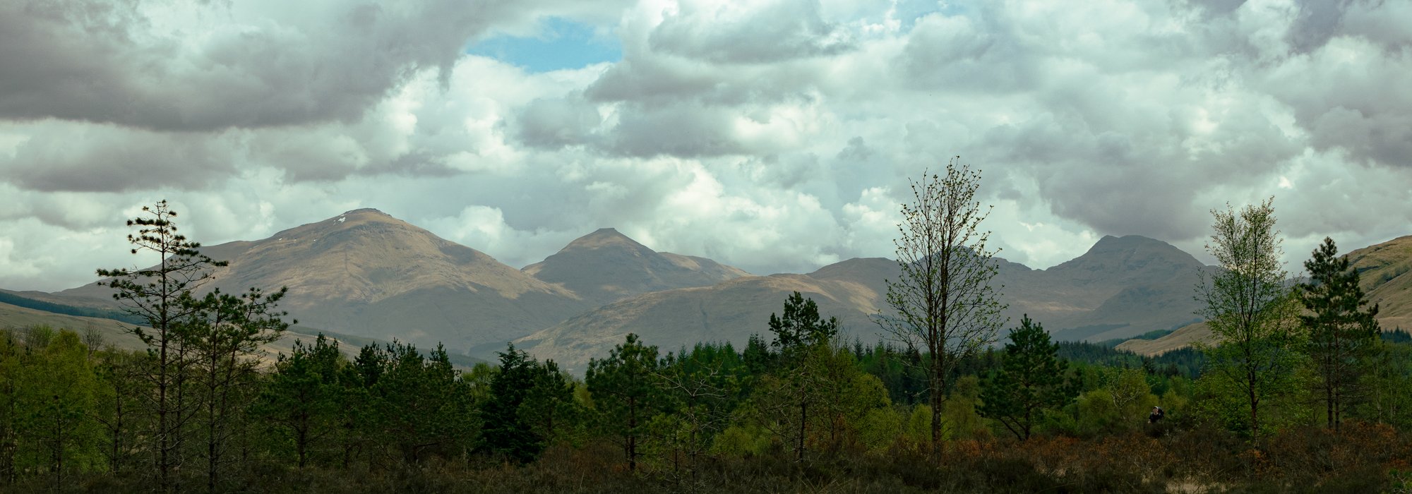
Another kilometre or so saw us to the village, and we restocked at the Welly, before continuing into the hills, pushing on towards Bridge of Orchy. This is one of my favourite stretches of the drive up the A82 towards Glen Coe. Just as the landscape unfolded from Glen Falloch into Strathfillan earlier, the miles here saw the evolution from the last of the Southern Highlands into the even grander Central hills.

As the hills pass, you approach that great pyramidal bulk of Beinn Dorain. We found our path climbing gradually up and out of Tyndrum, following the road and the railway as they thread through the narrow valley, past Auch farm, crossing over and then under the rails as all three routes tussled for valuable real estate.
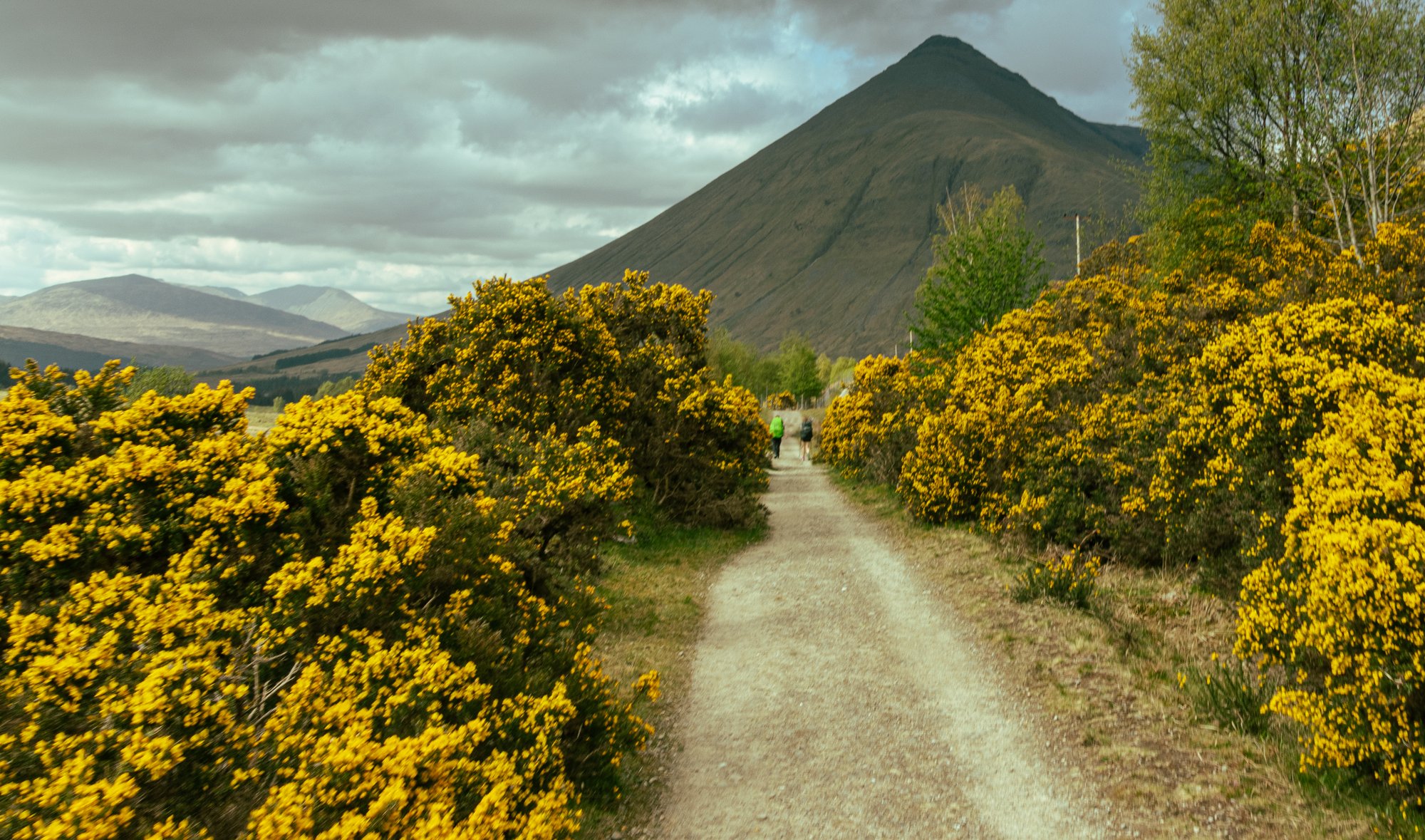
In this section the kilometres passed quickly. However, we would soon hear what sounded like the rumbling of thunder, and the fine weather we’d enjoyed for the first two and a bit days seemed doomed to end. Just as we reached the crossroads of the West Highland Way with the dirt road which heads up towards Loch Lyon the heavens opened.
For ten minutes.
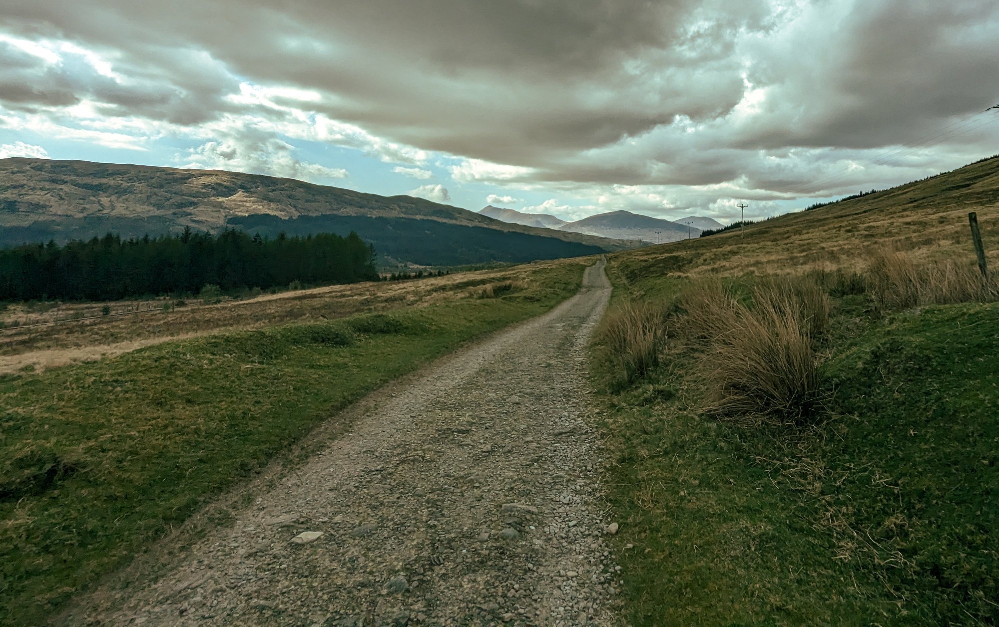
I can’t really complain that it rained for such a short period of time over five days in the West of Scotland, and it would turn out to be the only rain we would have for the whole trip. Another hour or so, soundtracked by more atmospheric grumbling, saw us at Bridge of Orchy, and looking straight up at the great cleft in the hillside that is the Coire an Dothaidh.
Alex had spent quite a bit of the day feeling unwell, and it was here that he decided that it was time to head home, and he caught the last train back south.
The fellowship was broken.
For those of us who remained there was a final challenge: finding somewhere to pitch a tent. There’s a small, informal camping area behind the hotel, but by the time we arrived it was already busy, so claiming whatever space was left was the priority before getting a drink in the hotel, and then settling down for the night next to the enormous new car park Forestry and Land Scotland had built.
Day 4
Bridge of Orchy to Kinlochleven
I had a distinct feeling of excitement at the start of the fourth day as I was breaking camp. This penultimate stage was the one I was most familiar with; a few years earlier I’d cycled from the station at Bridge of Orchy up to the ski centre on Rannoch Moor to climb Buachaille Etive Mor in the days before I owned a car.
There was less to distract us here than on previous mornings, so we made an early start up and into the woods, climbing the first of three summits along today’s route. It wasn’t long before we were above the tree line, and into something which felt like an overture for what was to come for the rest of the day.
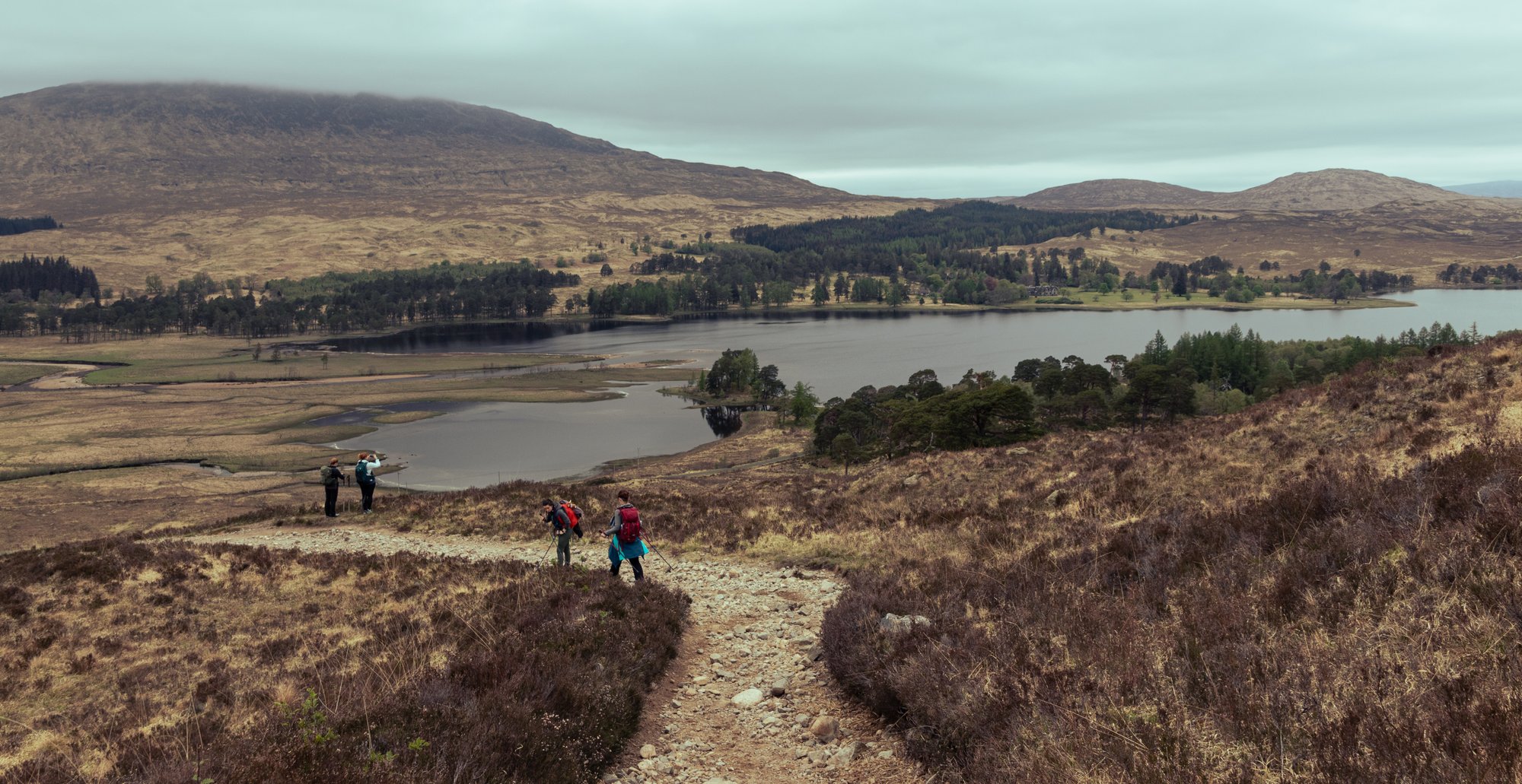
We were on the margins of the moor. Where two days before we had tunnel vision along the shores of Loch Lomond, and the previous day we were funnelled through a series of glens, at the summit cairn of the hill we were treated to an expanse, but one which did not feel hospitable. The view over Loch Tulla and across to the nearby hills, still brown with the last of the winter, was open.
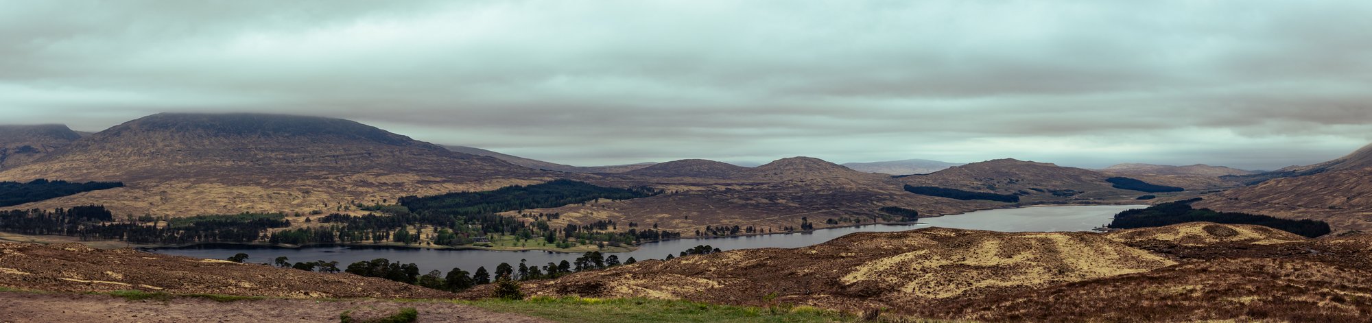
To our left was the Black Mount, and the path ahead of us snaked for miles ahead of us, climbing slowly up to the pass above Ba Bridge in the far distance.
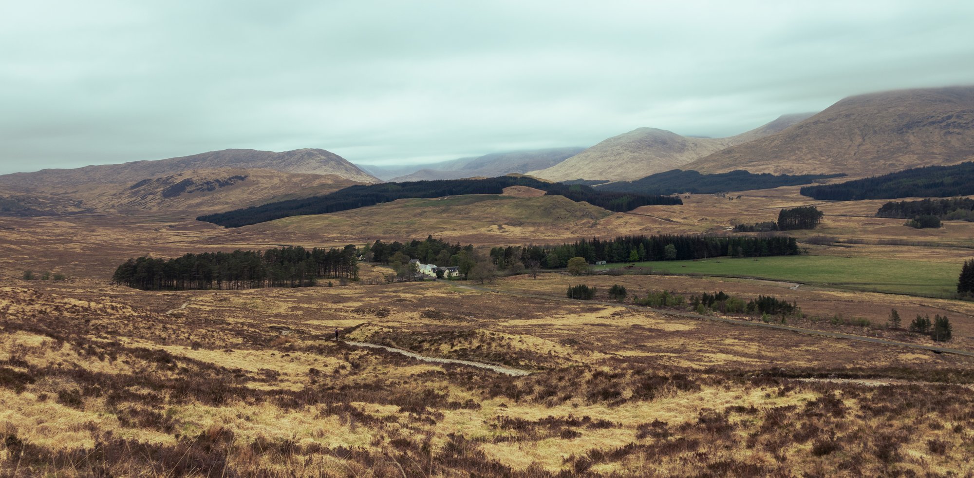
In contrast to day three, when we’d been able to divide the walking into three approximately equal sections, none especially remote, day four was going to be long, and it was going to be remote. The only two real places to break this segment were the ski centre at Glencoe, and the Kingshouse. Both sit close to half way between Bridge of Orchy and our destination for the day, Kinlochleven. The only other real waypoint was the foot of the largest climb on the entire Way; the renowned Devil’s Staircase.
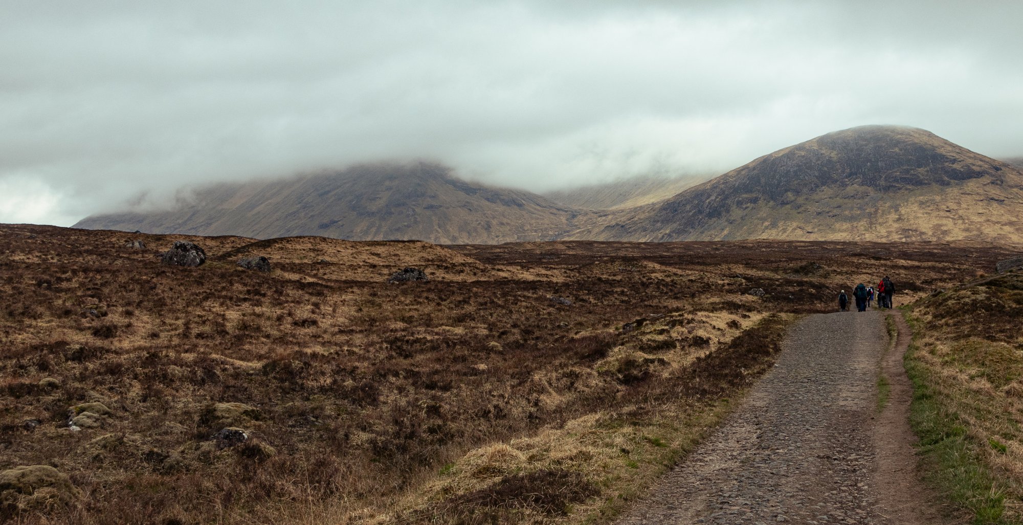
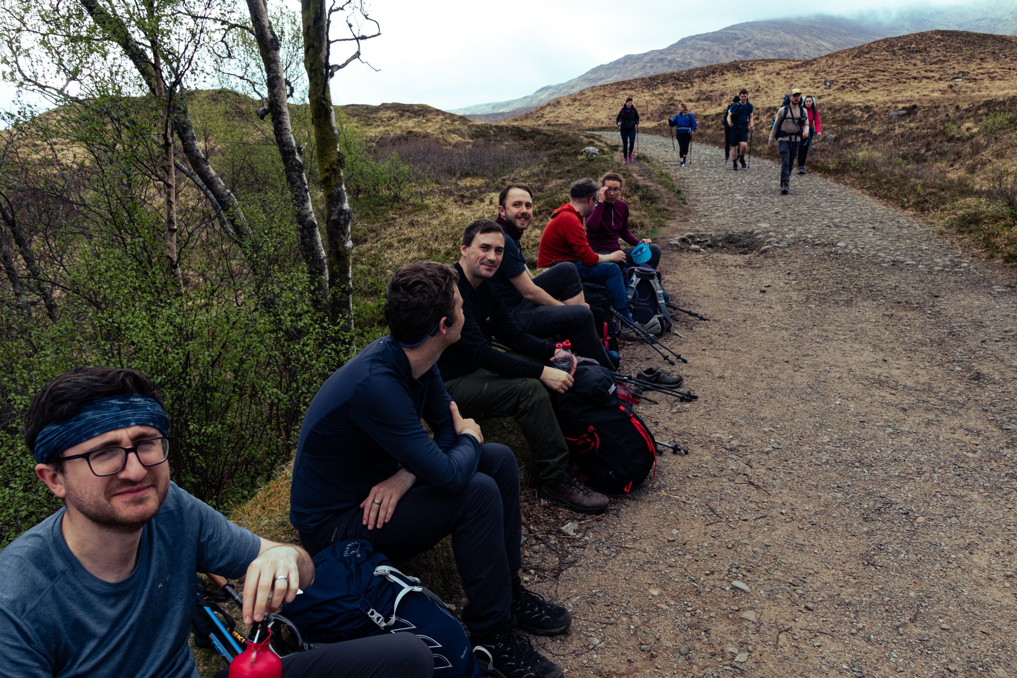
Fortunately, the going was good. The weather was being kind to us, it wasn’t windy, and while the overcast cloud was moody, it was dry. I hoped that we’d make good progress across Rannoch Moor. The path dropped back down to Inveroran, and we paused here for a while to have a snack. It was at this point that a rather fancy black car pulled up, and it deposited at the hotel a hiker. None other than the Dutchman we’d chatted to close to the end of the second day! We chatted a while, and found out that he’d decided to take this day off from the walk because of his knees. He also noticed that we had become a party of seven, and consoled us that we were still doing well, as 25% of people don’t finish. This was an attrition rate higher than what we had hoped for, but at this stage we seemed fine? Magnus’s ankle issues from the day before had resolved. Things were looking pretty positive.
From Inveroran the Way continues briefly along the (very quiet, narrow) road until Forest Lodge. Here the tarmacked road network… peters out… and it becomes the old Parliamentary road, which is somewhere between a cobbled track and a gravel road. This road starts a gradual climb in order to reach Rannoch Moor. We once again found ourselves in the midst of other walkers. There seemed to be a lot of people here who had been dropped off by a coach at one end, and were walking across to the ski centre; they mostly looked less weather-beaten than your standard Way-follower.
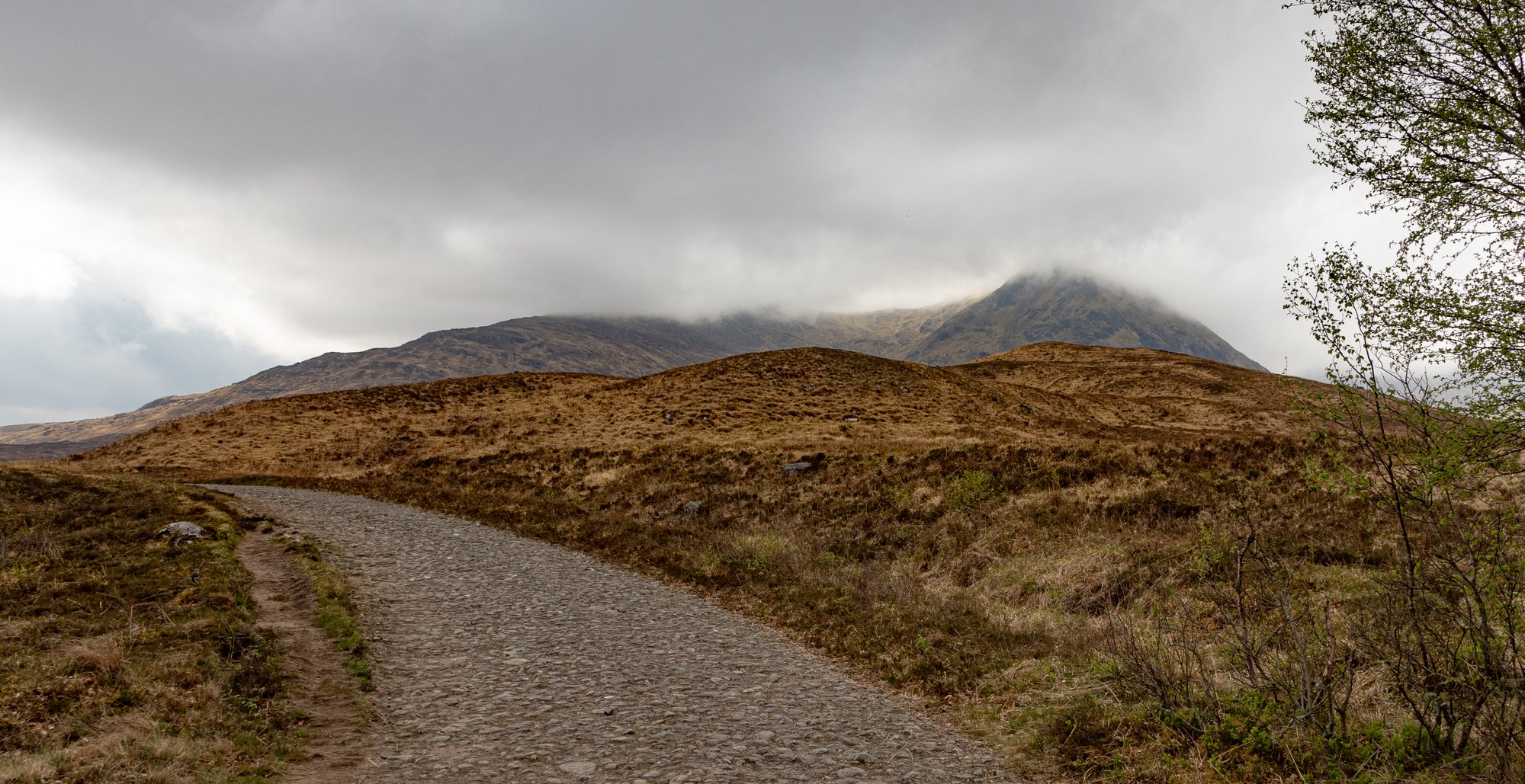
For the first few kilometres we found ourselves making a straight line towards a pass between two firmly rounded hills, which gave us the sense that we had a lot of climb to cover before lunchtime. Eventually, however, our heading turned towards the lower slopes of Meall a’ Bhuiridh, which were still enrobed in the morning cloud. We could now see the actual pass we were aiming for, just as high, but much more distant.
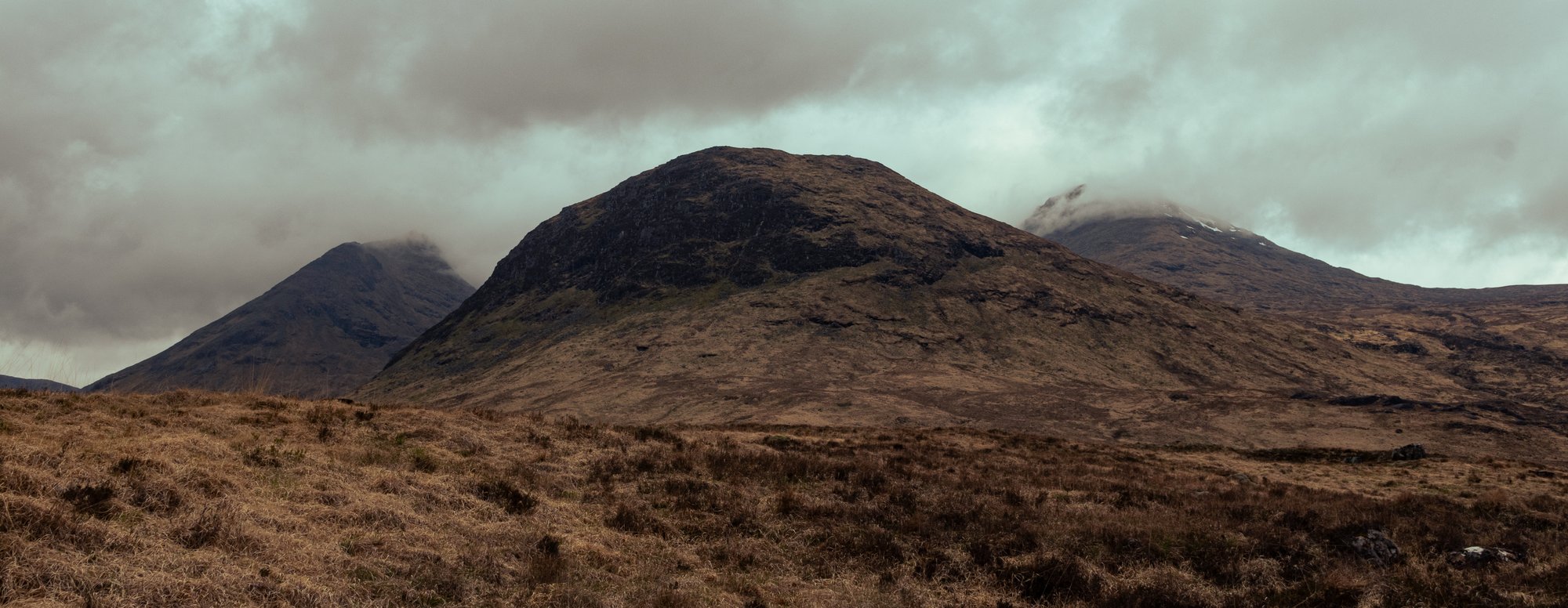
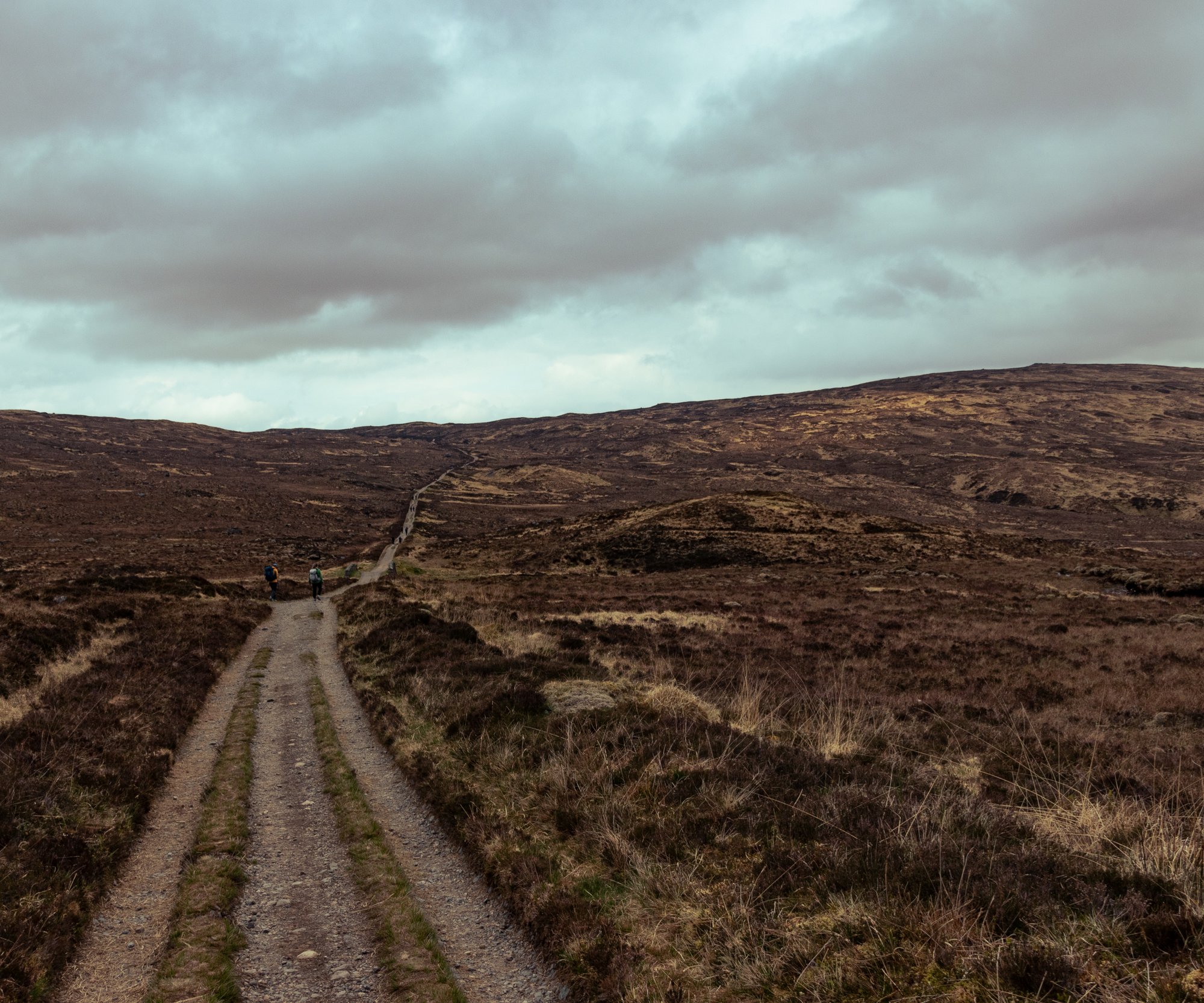
While the path is a little monotonous, and the low cloud prevented us from having a clear view of the massif to our left, we were, as I had hoped, moving quite fast. I decided that Ba Bridge would be a good place as any for us to pause for a bit, and regroup. From here it would be about an hour of walking to reach the ski centre, which was my current target for the lunch stop.

The landscape builds up to something here.
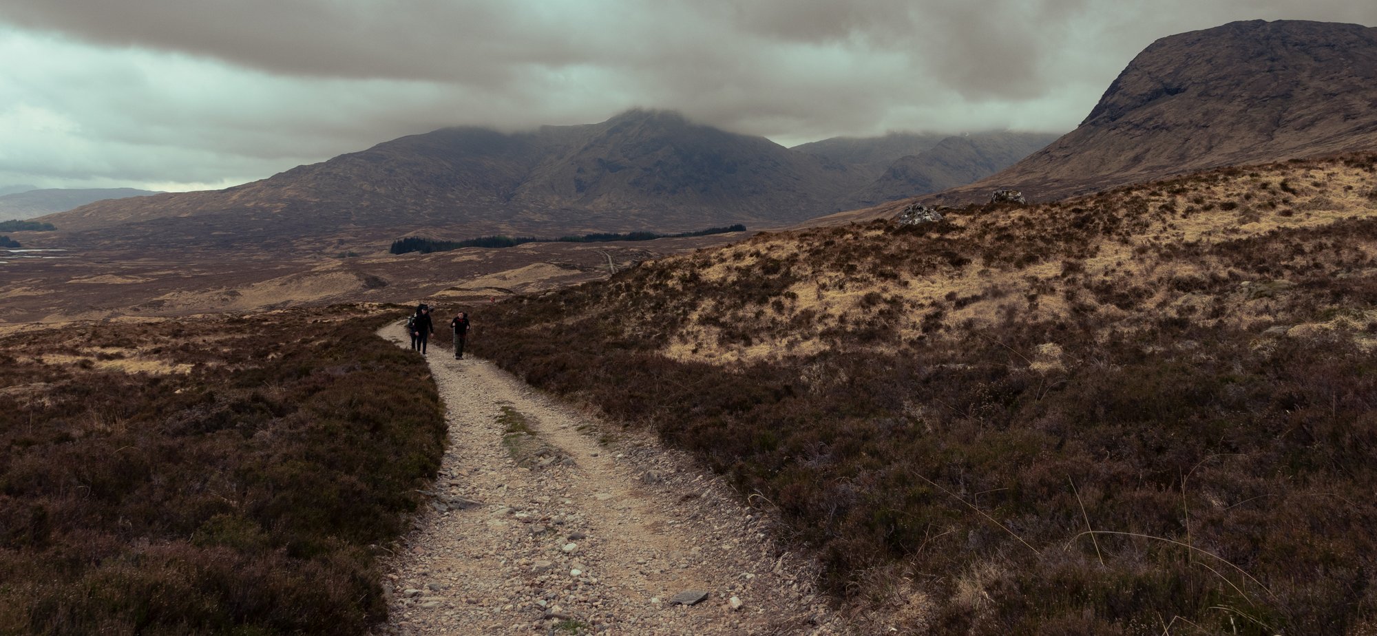
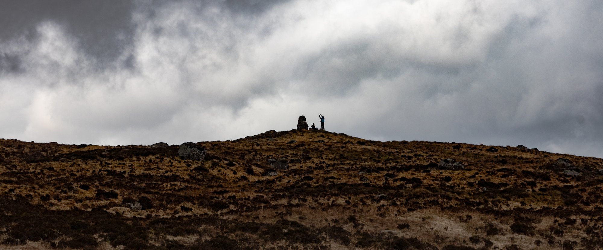
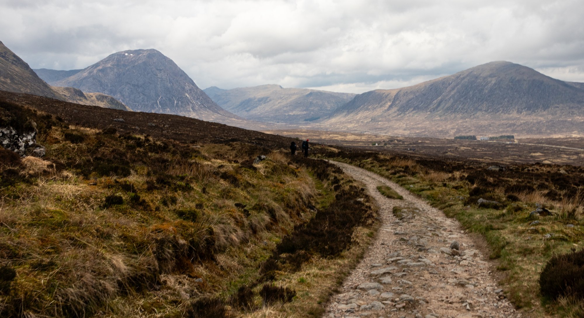
The sun was starting to break through the clouds as we approached the summit of the road, our second for the section, and we spotted the big memorial cairn on the hillside. At this point the slopes of the White Corries still obscure most of the sightlines into Glen Coe, but we were approaching a very specific point on the route where the view would change.
It had spent all morning becoming more wild, more stereotypically the Highlands. The overture had been building, we were in the crescendo. Just as you turn you are hit by a deafening C Major chord from the brass section.
You get your first sight of Buachaille Etive Mor straight in front of you.
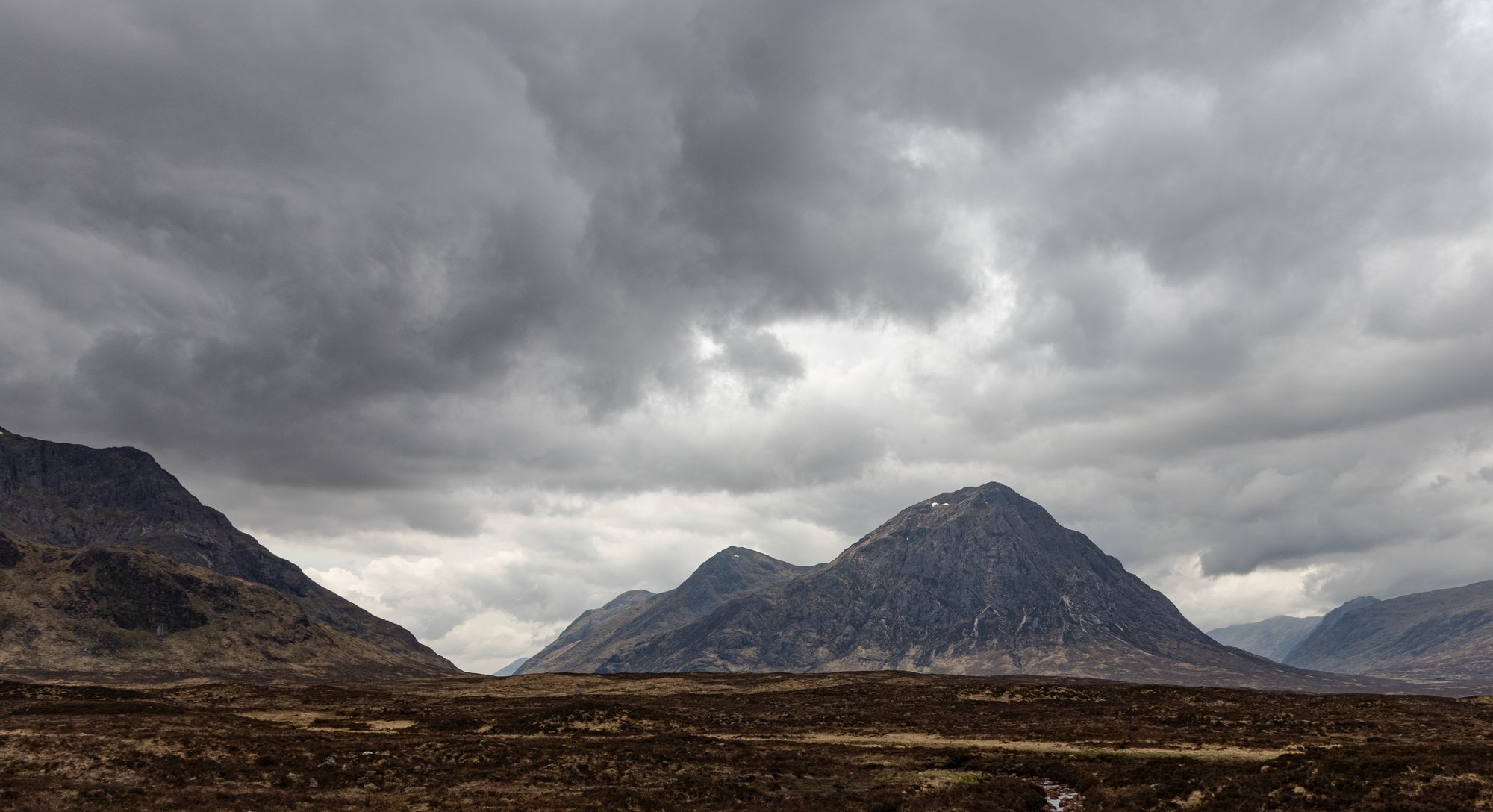
It was in its full glory as we approached the ski centre, with only its very pinnacle lightly veiled in cloud.
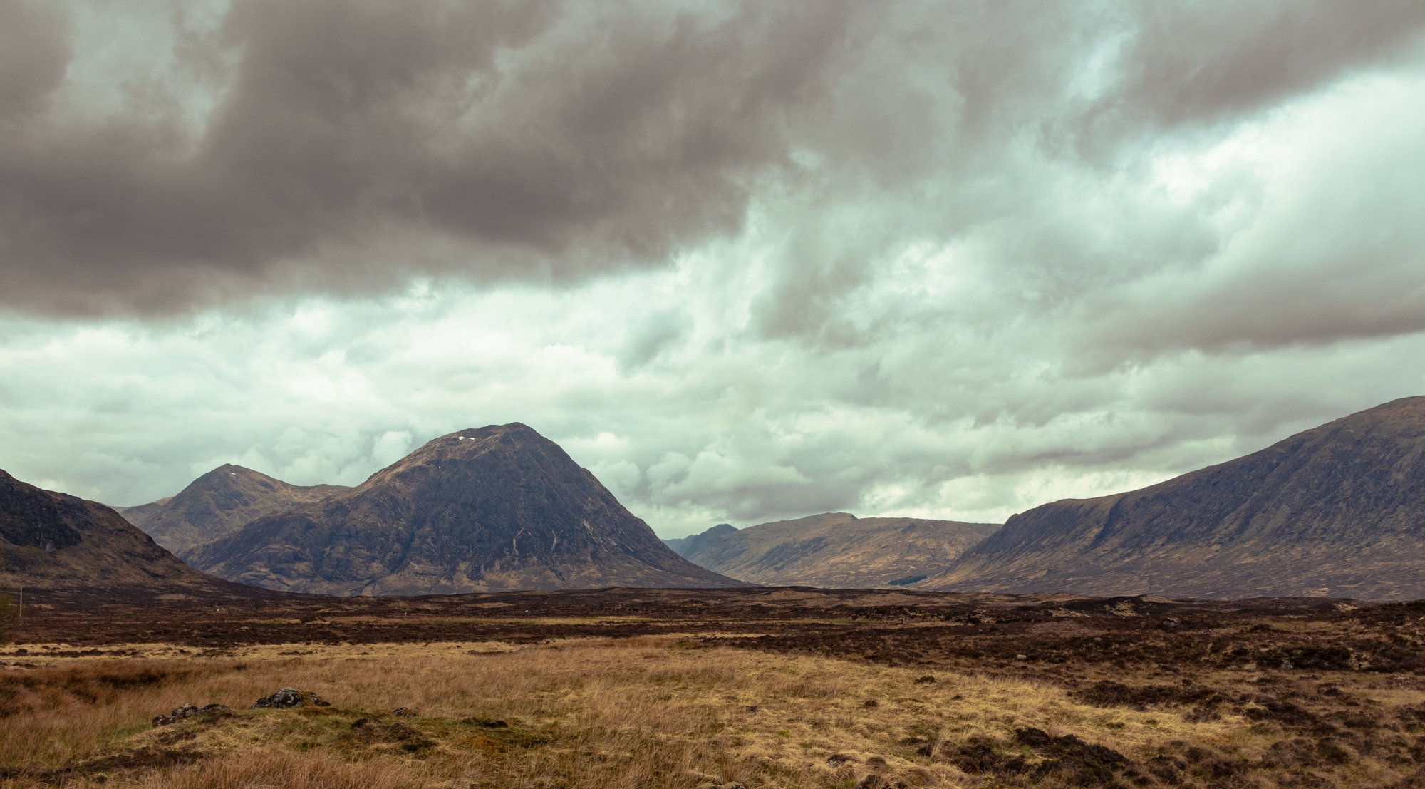
We had now entered the finale of the West Highland Way. The first movement was defined by the gentle transition from the lowlands into the southern Highland. The next by water; the long walk alongside Loch Lomond. Then there was the valley; the long walk from the north of Loch Lomond and winding through mountain landscape. Then the emptiness of Rannoch Moor. But this movement was defined by rock. No longer were the mountains something we were walking close to. We were going to be among them, between them, and crossing over them until we got to Fort William.
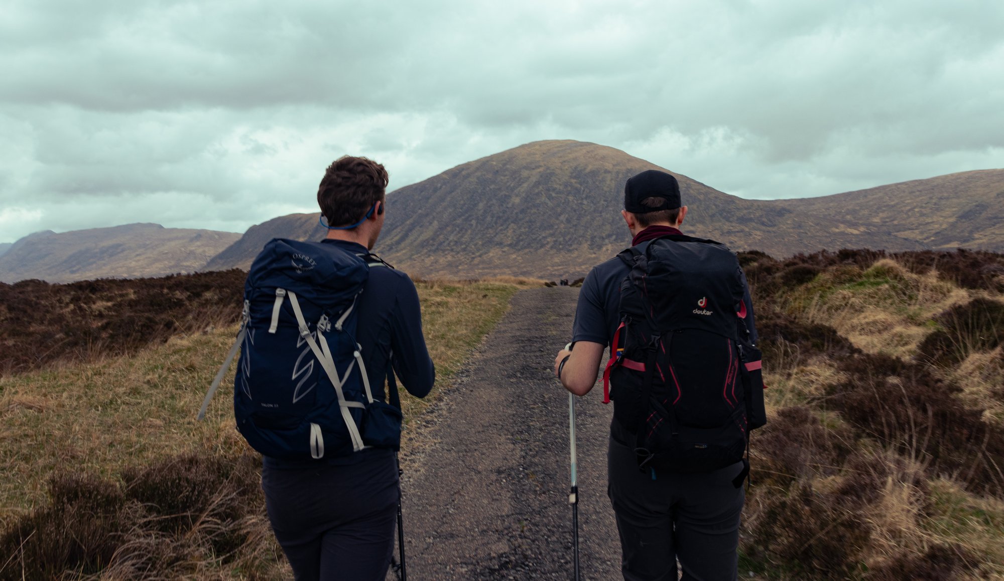
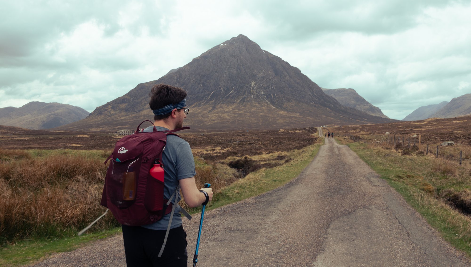
Jordan, however, was really starting to struggle. He managed to push forwards, despite being in the sort of agonising pain only knee tendonitis can bring. We decided to continue to the Kingshouse, which required less of a diversion off the main route than the ski centre would have done, and it only represented another quarter of an hour to get to lunch. We managed to claim a picnic bench, bought coffees and sandwiches, and re-dosed on paracetamol.
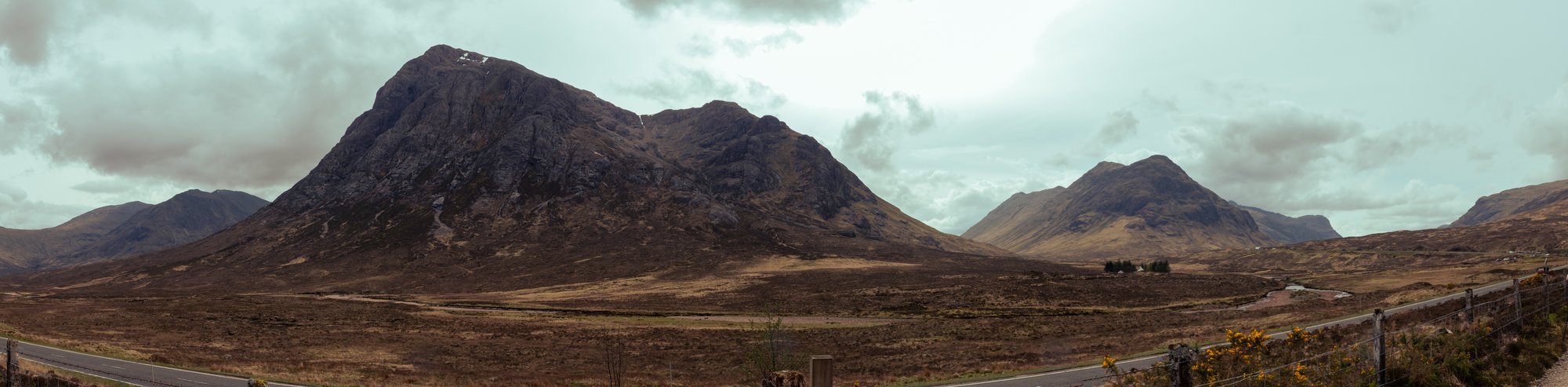
From here it was another hour or so of walking to reach the foot of the Devil’s Staircase at Altnafeadh. The overcast cloud continued to thin as we walked around the Buachaille, and by the time we paused to mentally prepare ourselves for the final climb we were treated to a view of both the big and the little Buachailles together beneath a blue sky. With the sun out it was getting warmer, and the breeze gently picking up was very welcome in tandem. While the rest of us rested, however, Jordan was slowly struggling to catch us up. It was clear that we had reached a point of crisis.
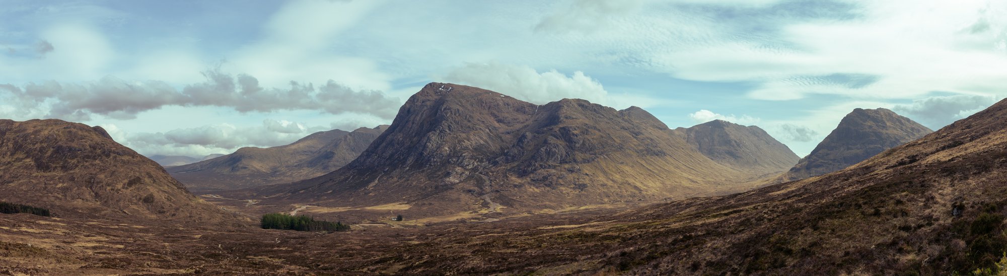
Options were considered. Could we get a bus to stop, or a taxi back to either Bridge of Orchy or on to Kinlochleven? In the end Jordan was keen to press on, albeit slowly, and we all resolved to stick to his pace heading up and over the pass.
I was pleasantly surprised by the climb. In retrospect, I may have benefited a little here from the fact that I was not meant to be pushing the pace, and so I took this more easily than I normally would, but it did seem very comfortable and very doable. (In retrospect, having spent four months training for a marathon, I was probably in better shape than I realised as well.) The path was well-graded, and of course the views were spectacular.
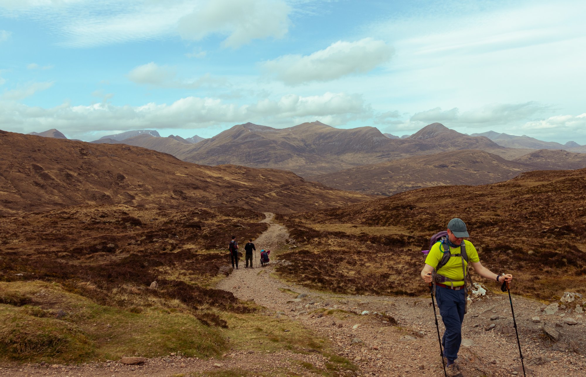
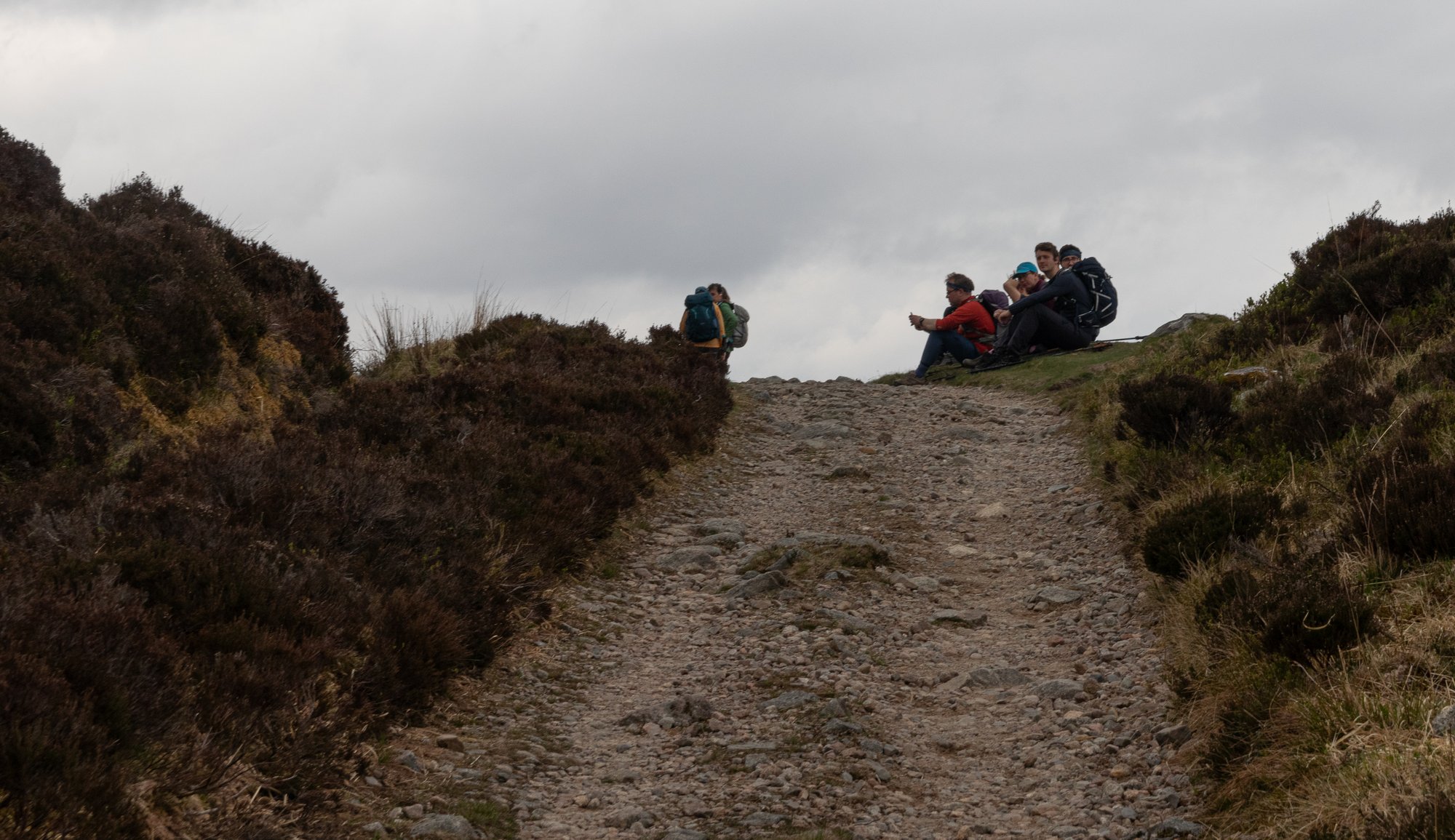
We seemed to get to the switchback section quickly, despite Jordan’s knees, and it didn’t seem long after that that we had conquered the most vicious-sounding part of the entire journey. We reached the cairn at the top, and we could now see across to the clear skies over the Mamores, and Ben Nevis beyond.
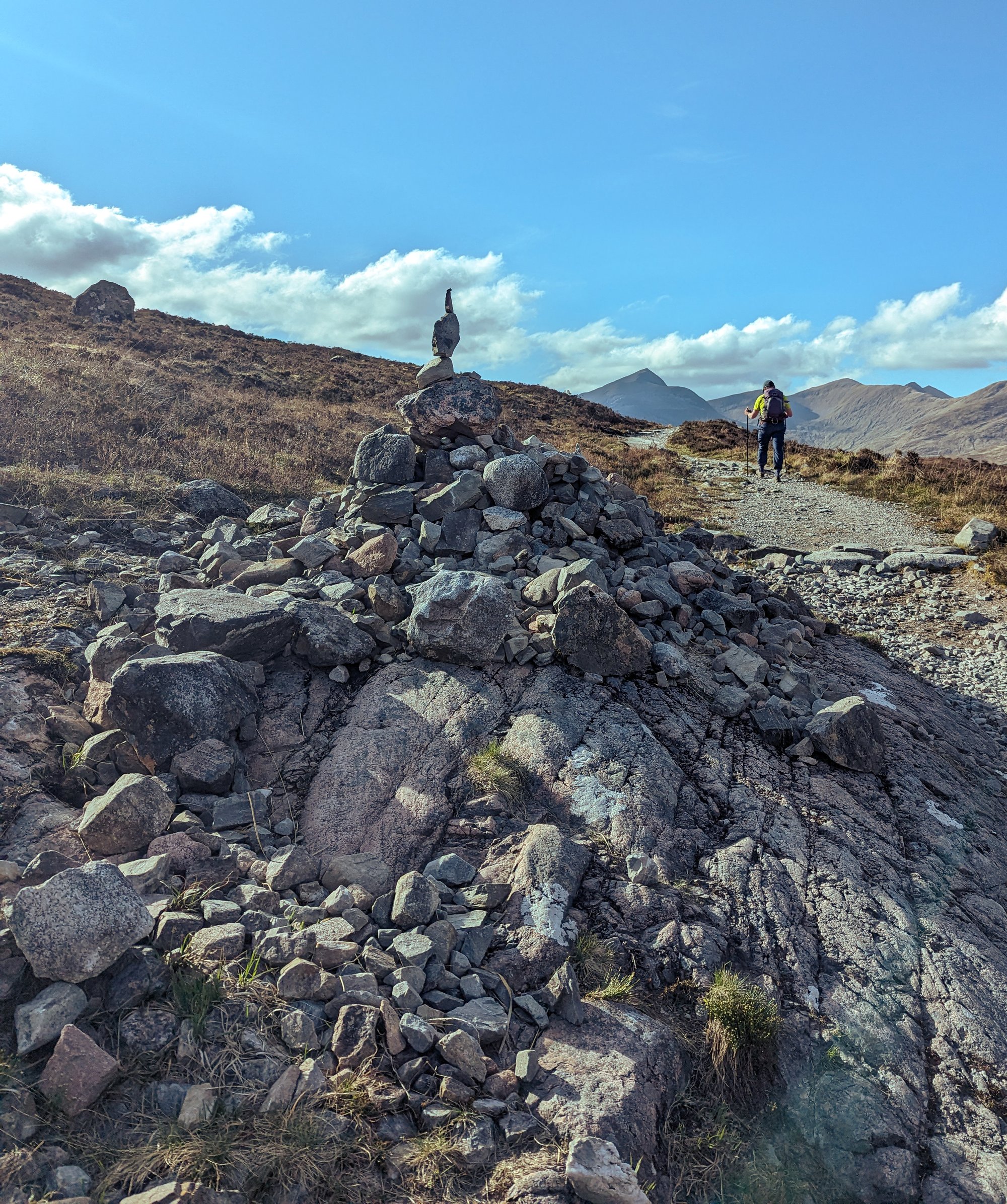
We decided it would now make sense to split the group up, and send one group ahead to sort out the check-in at the campsite while Andrew and I stayed with Jordan. The descent started on a good path, and soon it met a forestry track which would give monotonous and painful walking down past the penstocks from the hydro dam. We did have the mild thrill, however, of needing to take a step off the road to allow a tractor on caterpillar tracks to pass us.
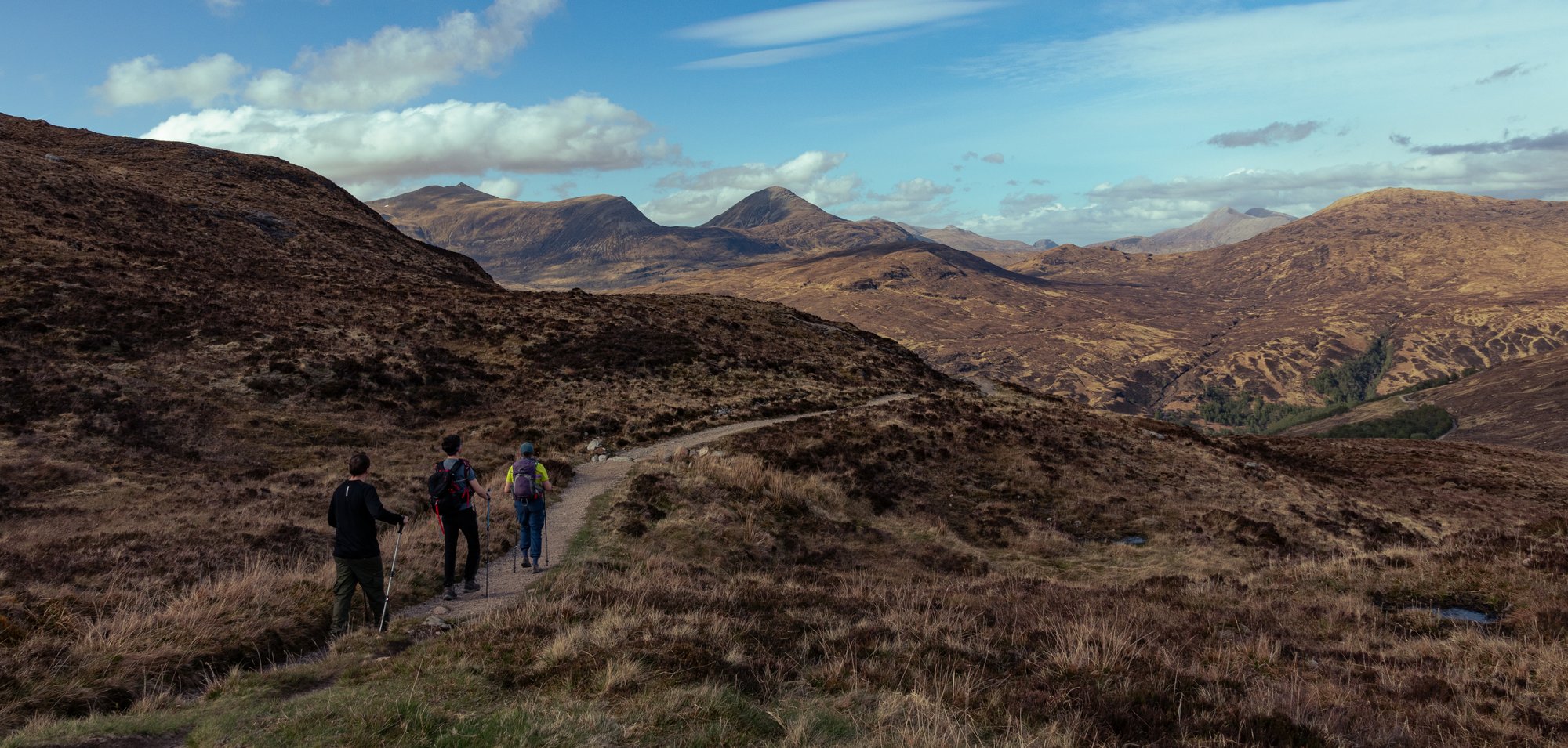
The town eventually came (back) into view. We’d been able to see it from far above, where Euan had described it as being “like Rivendell” which may be the most flattering review Kinlochleven has ever received. A short walk and hobble through the town saw us at the campsite.
After what had been a long, and difficult day, nerves were a little frayed. I took the opportunity to get a quick and rather cold shower before limping around to the Co-op to buy carbohydrates before meeting most of the others (a few, including Jordan, had headed straight to bed) back in the bar at the campsite for a much-needed pint.
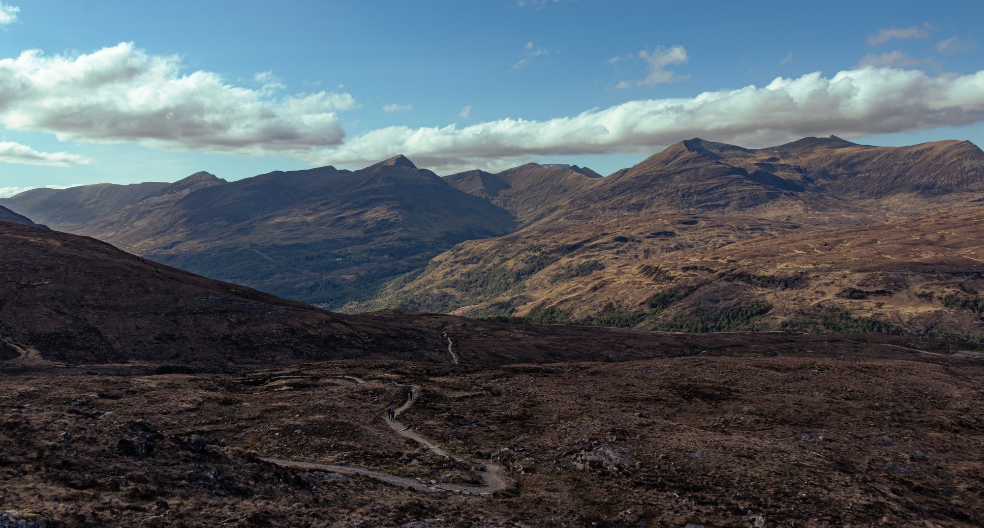
The end, however, was now firmly in sight (albeit only metaphorically; we had yet another big climb out of this glen first!)

Day 5
Kinlochleven to Fort William
The mood was a little muted as we broke camp one last time, and made the preparations for one final push. It was going to be a relatively short day, but somehow I was just dreading the last mile from the Glen Nevis roundabout into the town centre. We dropped the bags off, and Jordan, knees having reached and exceeded their limit, headed back into the village to get the bus into Fort William. Our Dutch seer had called it: a 25% attrition rate. We were now six.
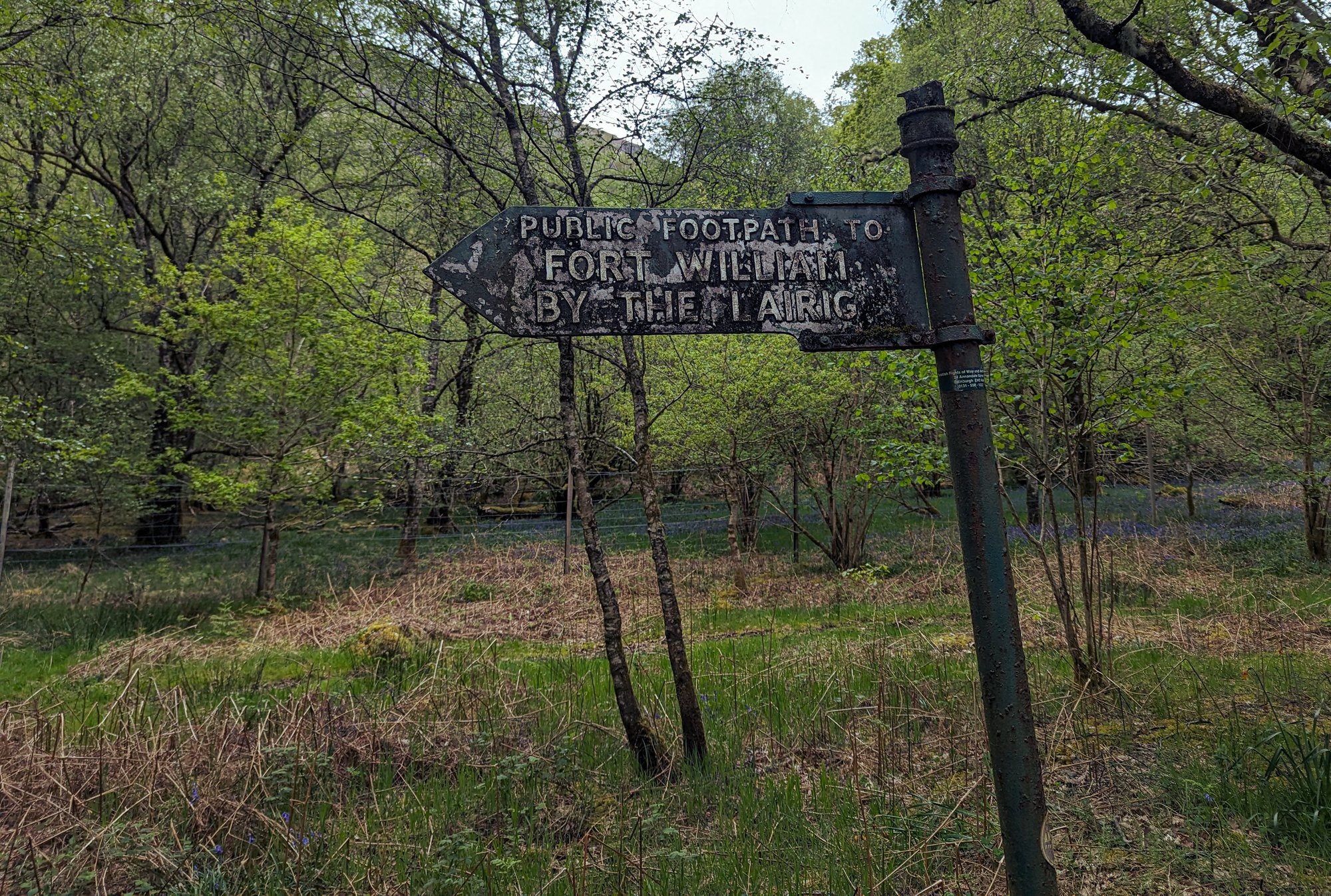
We started the climb up and out of the glen. The day was already getting warm and humid, and it was frequently desirable to pause and look back at the scenery as we walked away from it. However, it did not take long to reach the height of the military road we’d follow for the remainder of the day.
As with most of the previous days, we started out the day alongside several other groups, but our pace, despite the many miles of the last four days, remained impressively fast. This meant we left most of them behind on the climb.
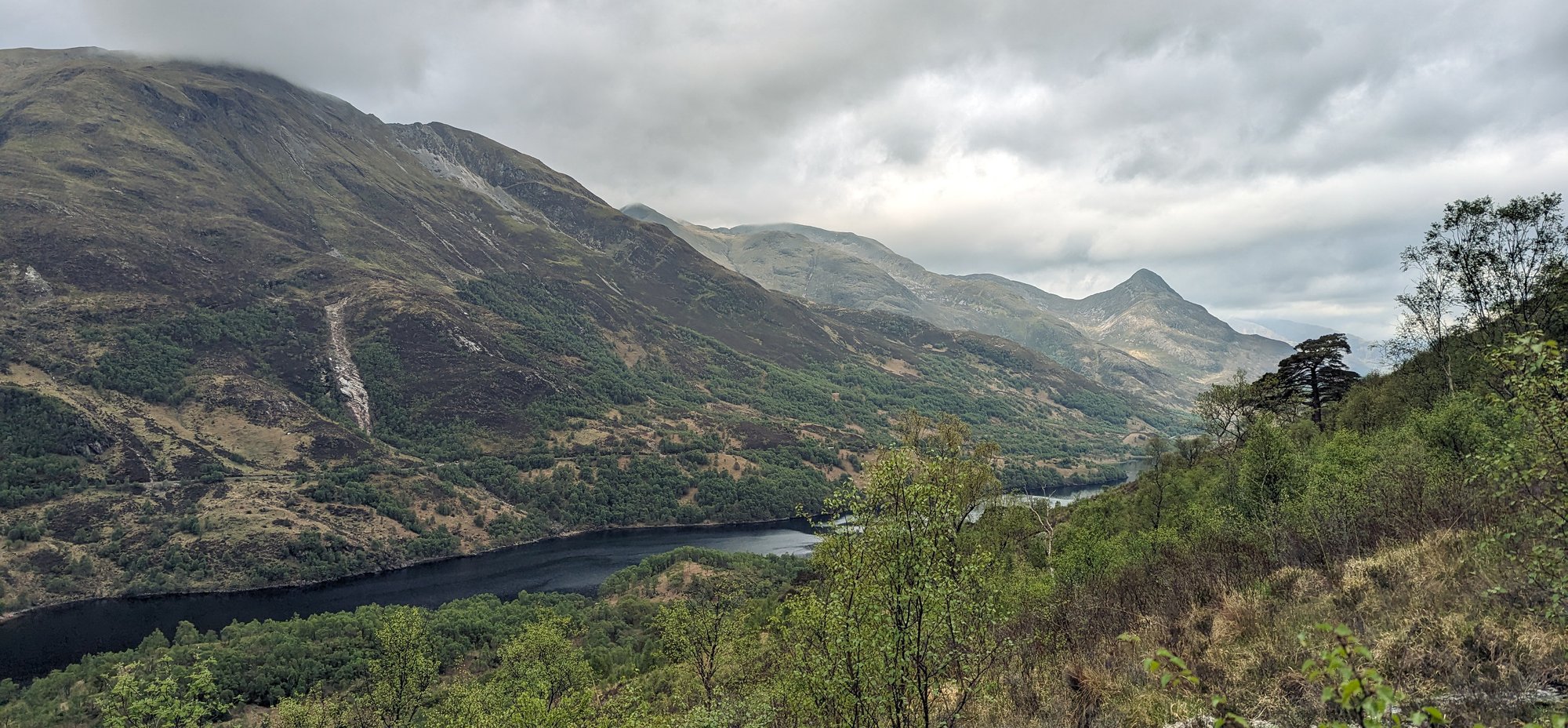
In contrast to many of our previous stops, Kinlochleven is a very popular place to break the route, so even despite our ability to overtake some groups we would find ourselves close to others all day.
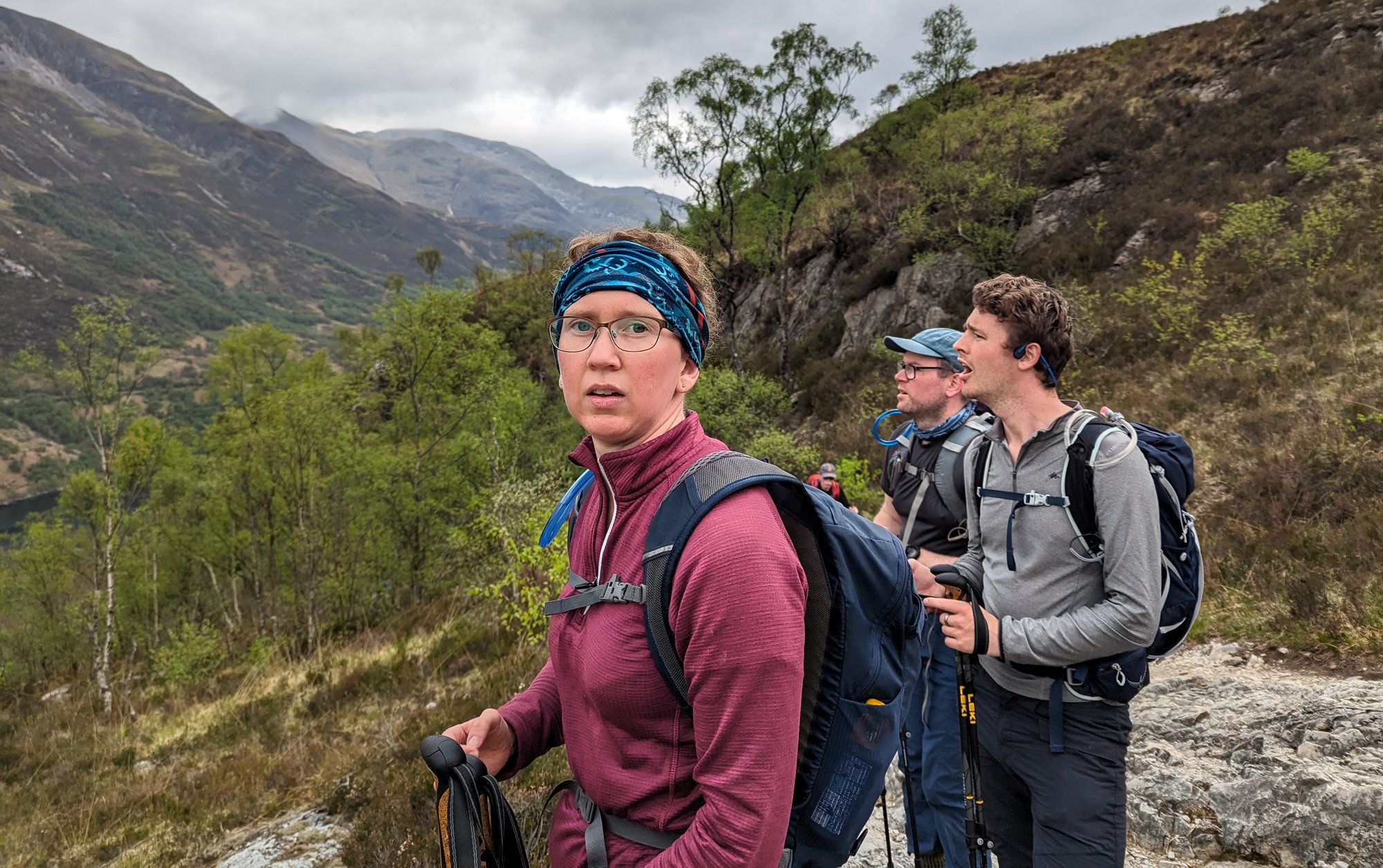
I had little idea of what to expect from this section. It was the only one which I’d not seen either up close, or from reasonable proximity before, and so I had no preconceived notions of it. Here, however, we were on one of the most remote sections. No modern road cuts through this part of the mountains, and two mammoth folds of rock: the Mamores and Ben Nevis, stood between us and Fort William.
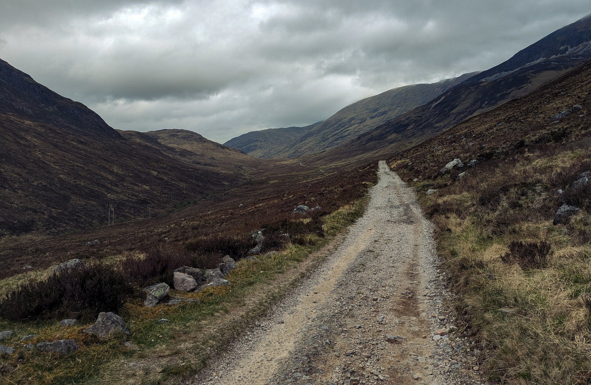
As we left the village behind us, and headed first East, we found ourselves in some of the most mountainous terrain so far, threading a path between two hills over two thousand feet in height to our left, and the southern flanks of a chain of ten Munros to our right. It was overcast, but the cloud was sitting higher than it had previous mornings.
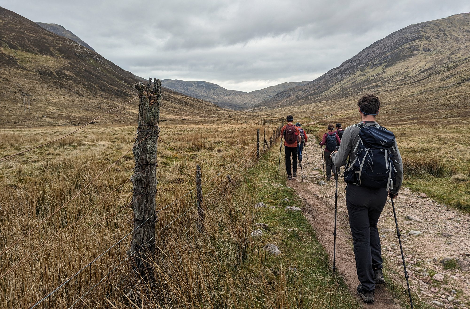
Eventually the path started to round the hills to turn North, and I hoped for that final glimpse of completion: Ben Nevis. However, a lot of Mamore still stood in the way at this point. However to the left there are still great expanses of open space. It was here that I realised something was going on, with the sound of motorcycle engines ringing through the landscape. We’d seen signs warning about the Scottish Six Days Trial several times, and sure enough we’d now encountered it: dozens of little trials bikes doing circuits around a croft deep in the hills.
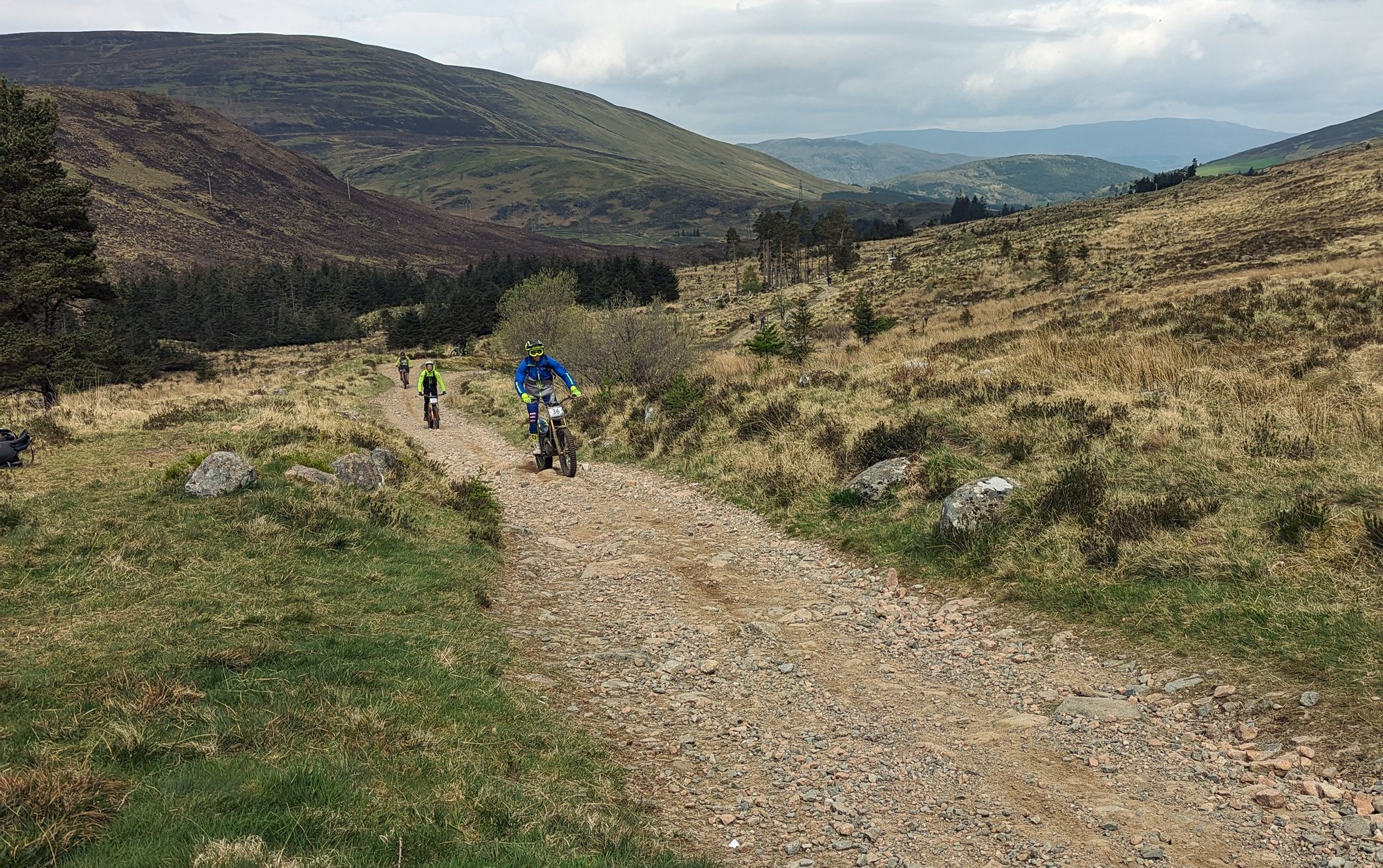
The path, despite the surroundings, was surprisingly flat, and while it undulated continually, the going was never especially difficult.
The number of people was also unusual for our experience of the West Highland Way. But the scenery, ever changing, acted to distract from any human-made congestion.
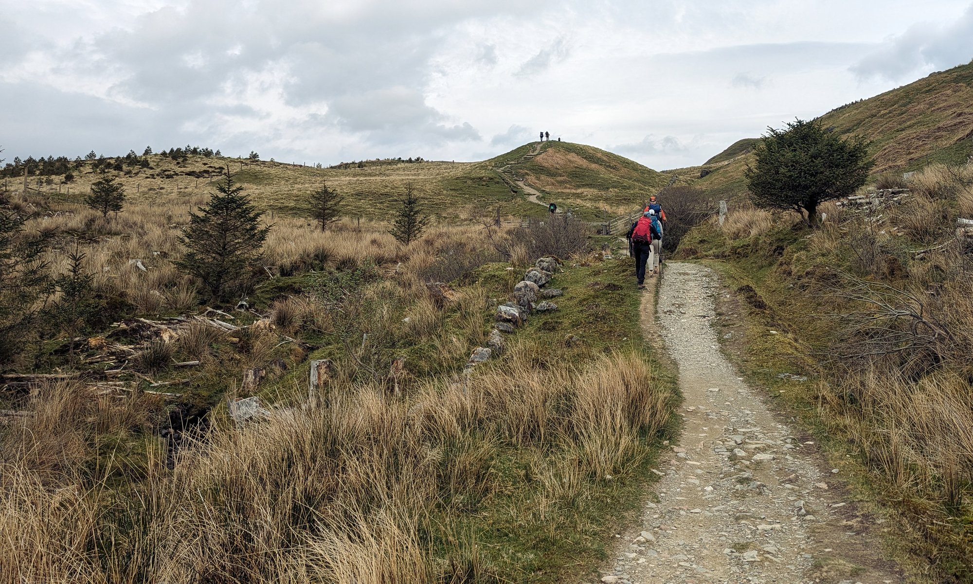
We eventually caught our first sight of the Ben, as we walked between two wooded areas, towering over the rest of the hillsides around us. There were definable moments on this trip which felt like genuine milestones: reaching Beinglas; spotting the Buachaille; and this was another.
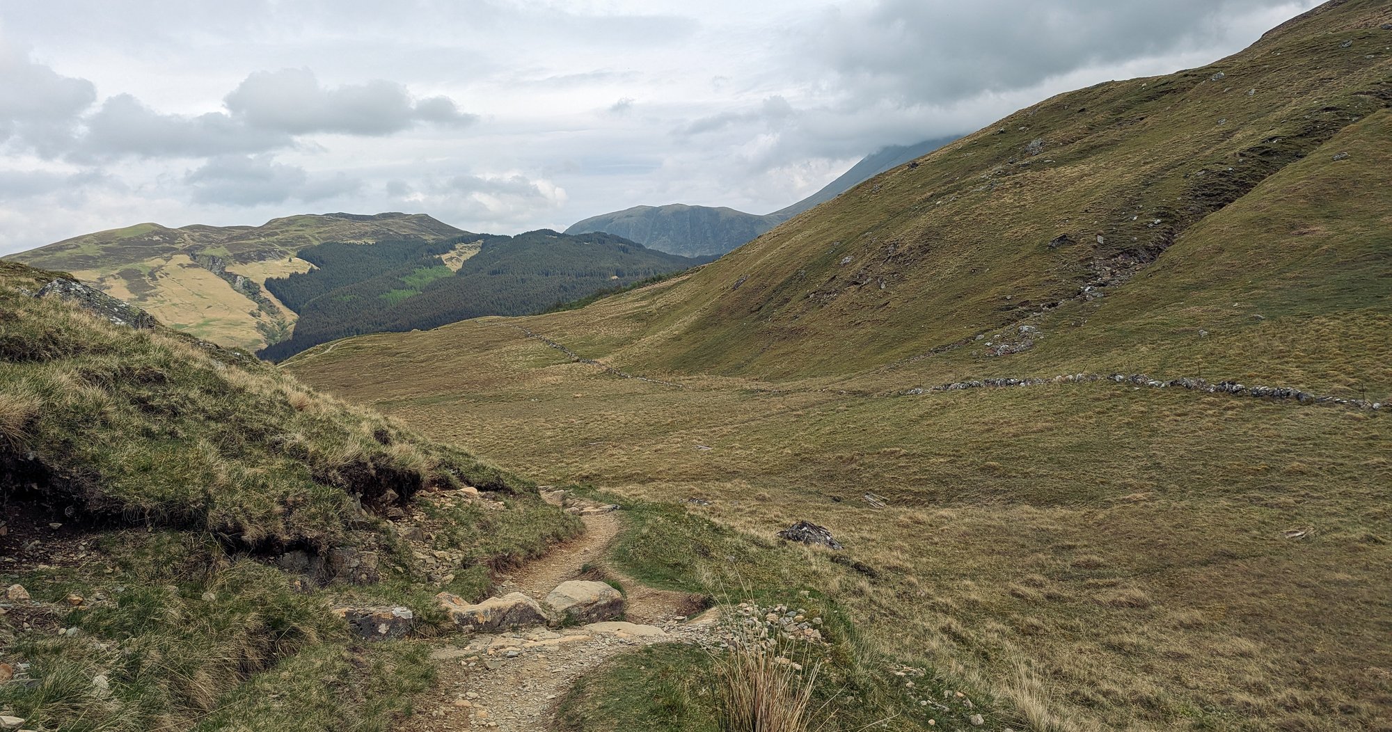
Shortly afterwards, knowing we were fast approaching the end, we paused for lunch. Amongst the trees and beside a small footbridge, this would be our final such stop before reaching the town. For me at least it was a chance to eat without carefully considering its nutritional content, both having resupplied the evening before and being close to the big supermarkets of the Fort. The days of rationing lunch were behind me.
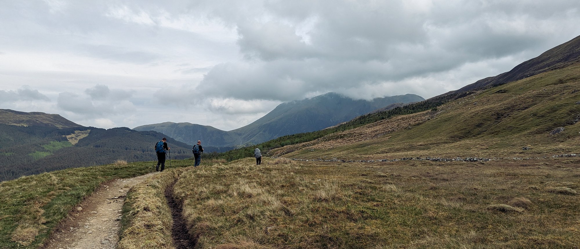
What was left was the descent into Glen Nevis, and several miles of tarmac through it to reach the town centre. We soon found the path widening into a forestry road, and as the descent began it took us over a number of large switchbacks. I ended up jogging down these, as I found it more comfortable, and to my surprise Andrew did too. It was on these switchbacks that we caught sight of Fort William for the first time. Having run down, we ended up far ahead of everyone else, and so waited in a big turning circle for them.

We were now very close to the road, and it wasn’t long before we were walking down through our last stretch of forest path to the tarmac. The sense of excitement was slowly growing in the group, but the hard surface proved a punishing ordeal for sore feet. Eventually the roundabout on the A82 came into view; we had reached the end. The Old End. I knew about this sign, which does indeed mark the original point deemed to conclude the Way, but I also knew that it had later been extended to the far end of the high street. Given the excitement of the other groups, however, I was not sure this was universal knowledge.
The final mile awaited us, dodging around the A82, through the town green, and onto the High Street.
Jordan had been forewarned of our imminent arrival. We counted down the metres. I had programmed the wrong end into my watch, so we counted down some more metres. We reached the end of the West Highland Way.
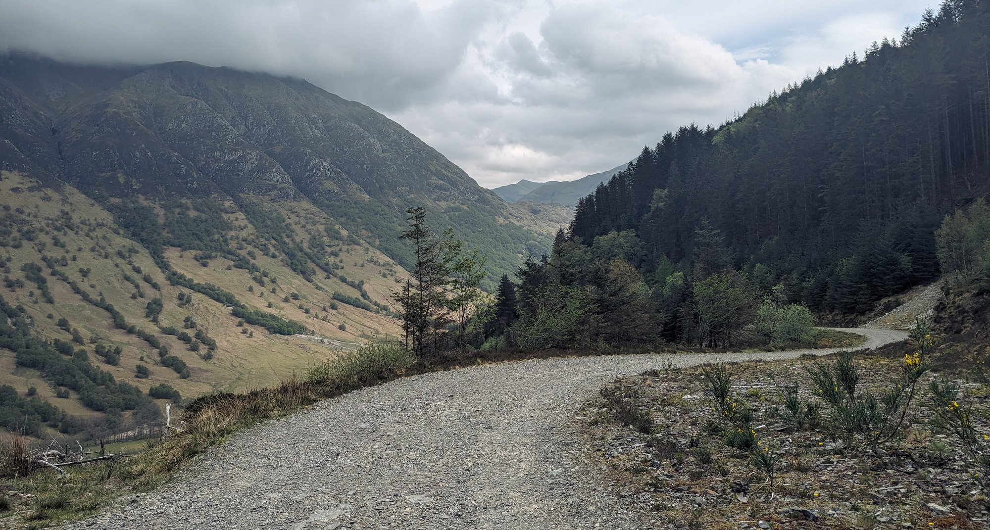
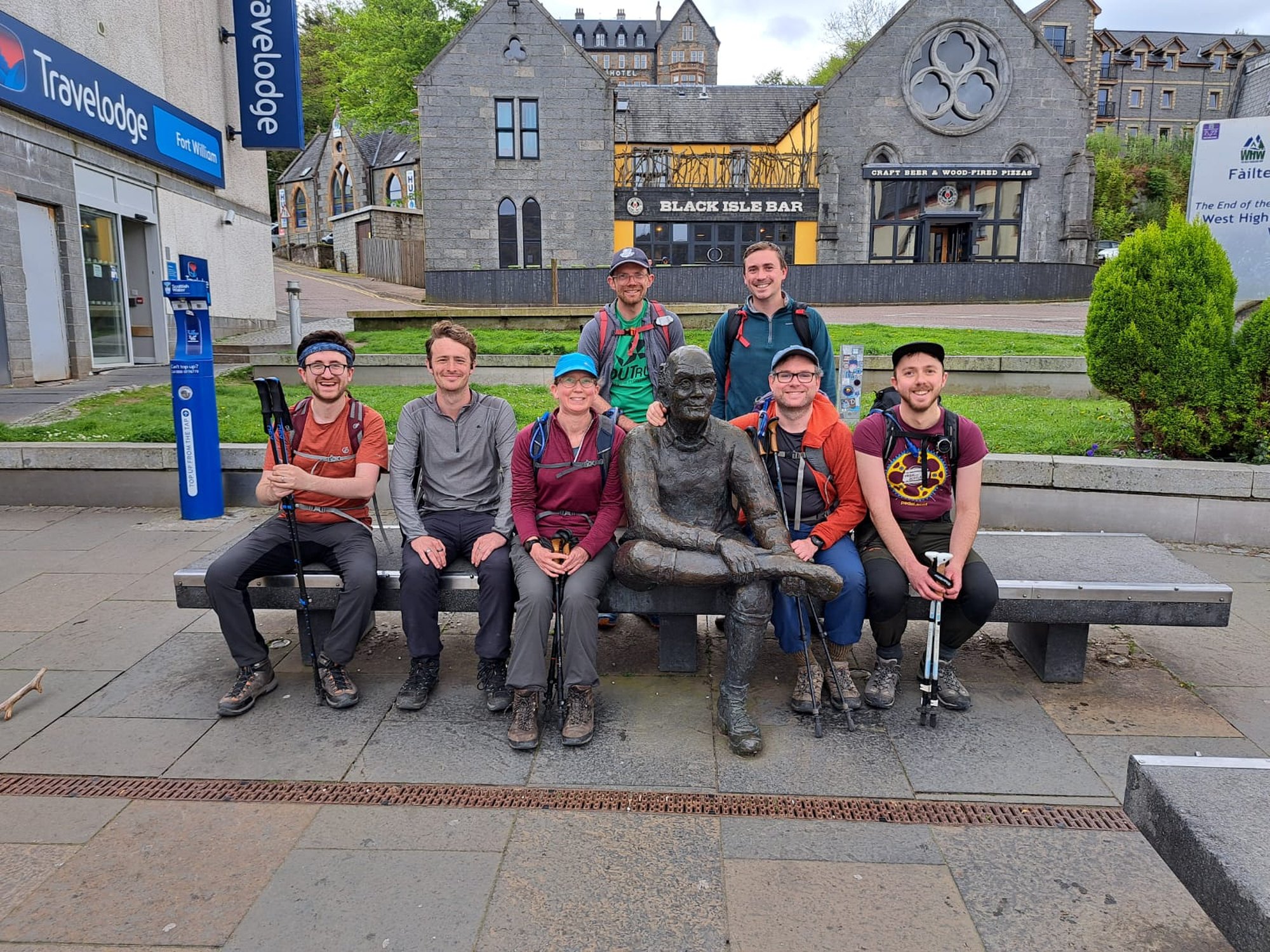
It felt a little odd to finish; it was almost anticlimactic, as if finishing had never actually been the focus. As we prepared to take the obligatory end-of-Way photo, it dawned on us that Jordan had not appeared. We eventually spotted him, reading something on the other side of the square, and facing in the other direction, hadn’t noticed us. So we ushered him across. The photo was taken, and the journey was complete: from the Greggs in Milngavie to the Wetherspoons in Fort William. We settled into the latter for refreshment before picking our bags up from the Nevis Centre.
The others were returning to Glasgow tonight; I had planned to stay another couple of nights in the hope of climbing Ben Nevis or a couple of Mamores. Standard Scottish weather programming finally resumed that evening. Hills became suddenly less appealing. Soaked, and tired, I returned on the train the next day.
As I watched Bridge of Orchy, Tyndrum and Crianlarich pass by the window, I had a few hours to put myself back into the right frame of mind for life in the big city after five days escaping it. Jordan’s stick lying in the luggage rack above my head.